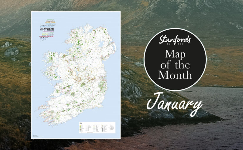
If your New Year’s resolution is to be more adventurous our Map of the Month The Adventure Map of Ireland will give you some inspiration.
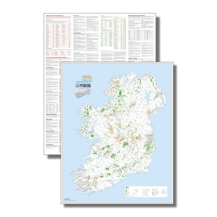
Ireland’s beautiful landscape offers so much potential for adventure whether on foot, bike or boat. This unique map documents thousands of the island’s natural features such as rivers, beaches and mountains as well as the walking, cycling and paddling routes that connect them. So spread it out on the kitchen table and start making plans…
At a scale of 1:450,000, 1cm = 4.5km
Printed on the same press as the Irish and UK Ordnance Survey maps, this large format (890mm x 1125mm), high-quality map is the ideal planning tool for your Irish adventures. The reverse side is packed with a vast amount of detailed information offering suggestions of different routes and activities
Featuring:
- Long-distance walks
- Cycling routes
- Pilgrim paths
- Greenways
- Blueways
- Signposted hiking trails
- Cycle hubs
- Mountain bike centres
- The Wild Atlantic Way
- Beaches
- Surf spots
- Canoe routes
- Mountains
- Rivers
- Lakes
- Islands
- National parks
- Forests
The Adventure Map of Ireland is available now for £15.