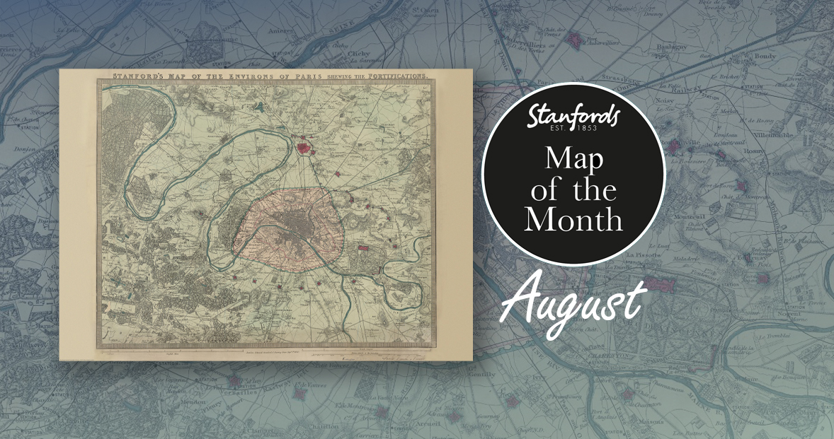
Our Map of the Month for August is the 1870 Stanford’s Map of the Environs of Paris.
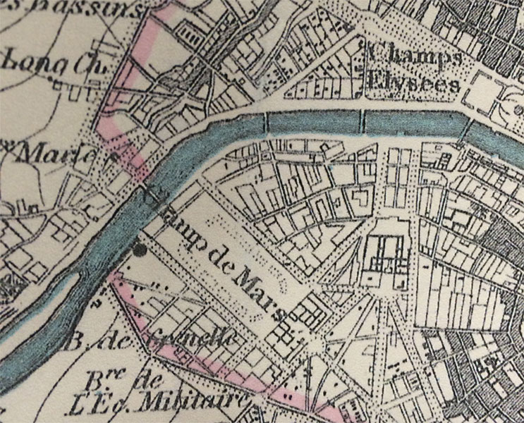
With all eyes on Paris right now, we thought it was a good time to look at this map from our Edward Stanford Cartographic Collection archive. The title reads; ‘Stanford’s map of the environs of Paris shewing the fortifications.’ You can see the fortifications in pink and notice how they form a ring around the old city wall.
It is dated September 1st 1870 which is just a couple months after the Franco-Prussian War began.
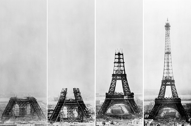
The Eiffel Tower wasn’t erected for another nineteen years. In this close-up, you can see the space at the Chaps de Mars where the iconic landmark now stands.