The store will not work correctly when cookies are disabled.
This site requires cookies for account access and purchasing. By using this site you give implied consent. For more information please review our use of cookies in our Cookie Policy and then Accept and Close this bar.
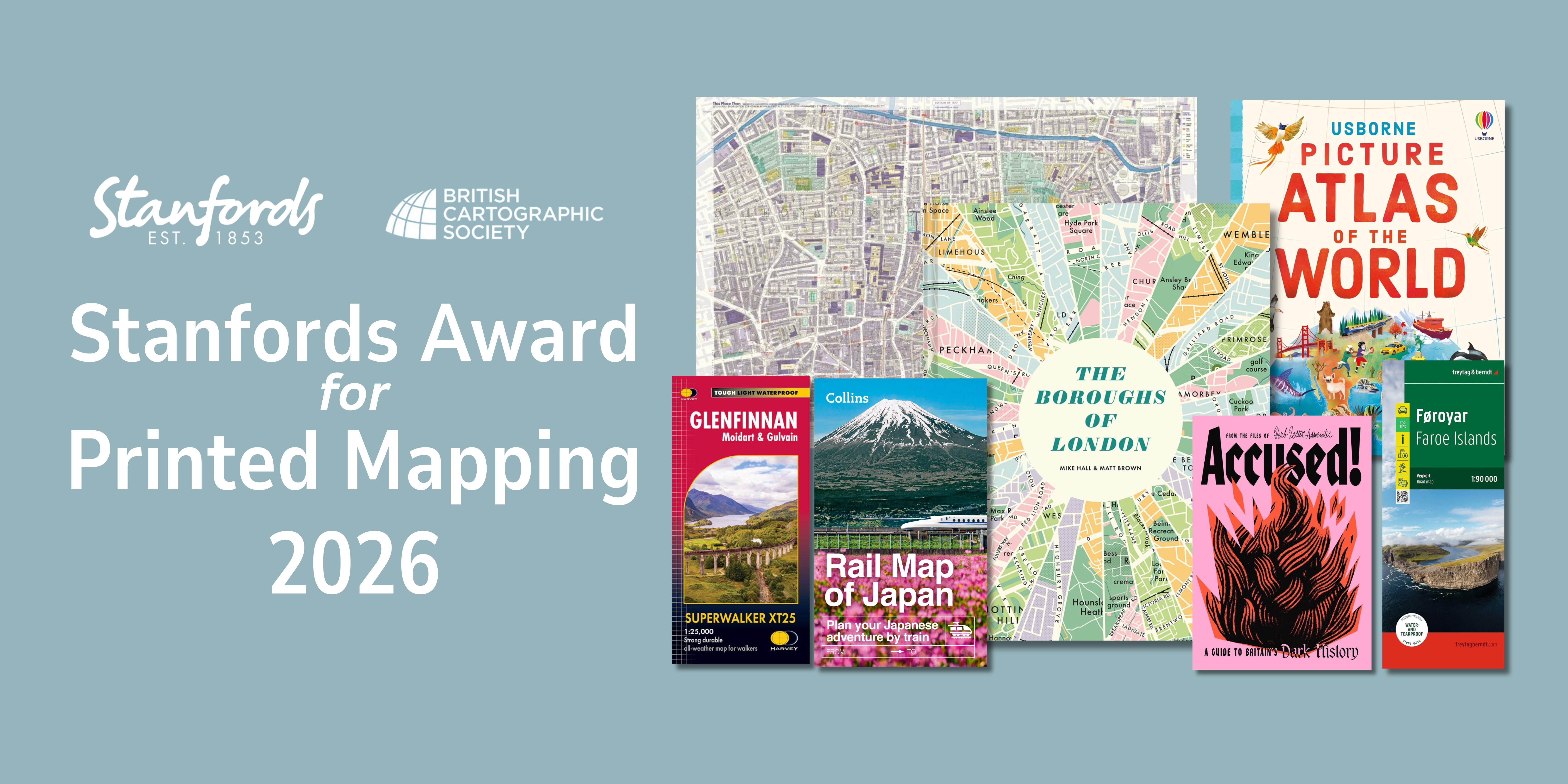
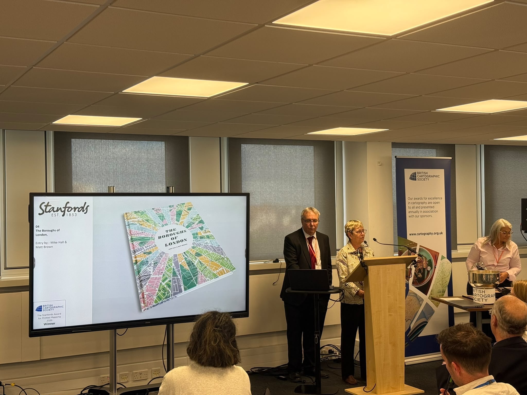
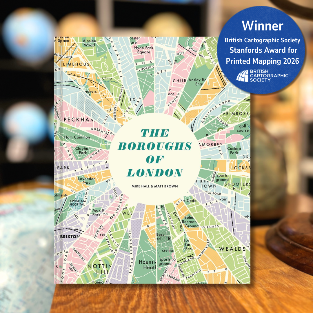
The judges said... A very interesting atlas absolutely packed with information and lots of stunning maps. The minimised colour palette and vintage design style is very successful, and every page is inviting. The quality of the print and finished product is excellent, and this atlas has a wide-ranging appeal – from those with a casual interest in the city to real London enthusiasts!
The Boroughs of London is a beautifully designed hardback celebrating all 32 of London’s boroughs through bold graphic-map illustrations and insightful commentary. Featuring retro-inspired artwork by map-maker Mike Hall and engaging text by London expert Matt Brown, the book offers a fresh cartographic and cultural portrait of the capital. Each borough is presented with distinctive maps, colourful design, key landmarks, local quirks and surprising facts, making it an ideal read for Londoners, visitors, history lovers and anyone fascinated by the character of the city’s diverse neighbourhoods.
Highly Commended Entries
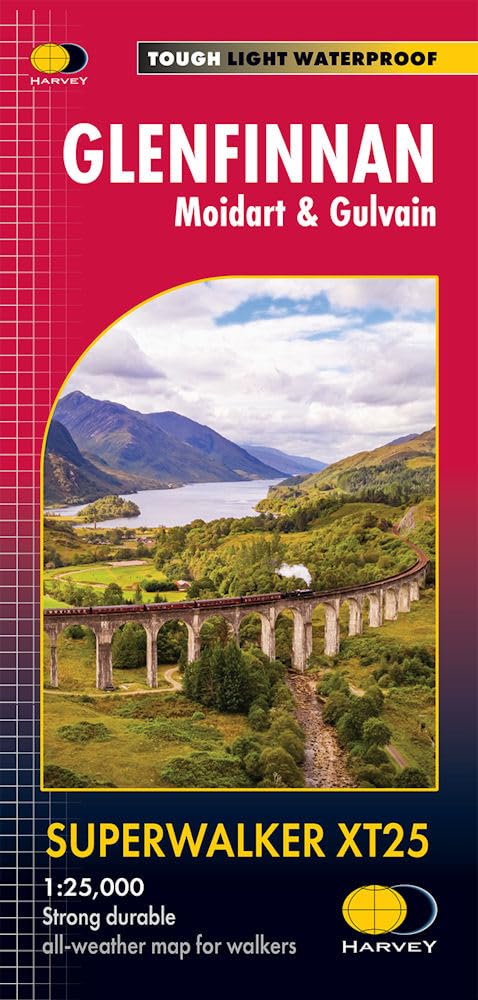
Glenfinnan, Moidart and Gulvain Harvey Superwalker XT25
The judges said... This map is a great example of a product designed with the end user in mind. From the lightweight but tear resistant paper, to the scale and the removal of anything superfluous from the map, it is optimised for walking and has been very well thought through.
Detailed 1:25,000 scale map for hillwalkers centred on the famous Glenfinnan Viaduct. Printed on tough, light, durable and 100% waterproof paper.
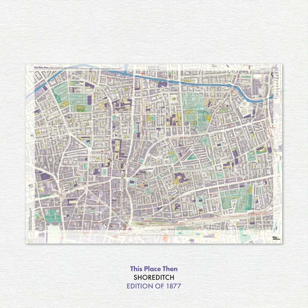
The judges said... A fascinating map that we would happily pour over for hours. Despite the mass of information that comes from two maps being combined, the colour choices mean that everything is still distinguishable. The finish and paper quality are excellent too.
By carefully redrawing and aligning historic 25-inch Ordnance Survey mapping with the present-day city, this print brings two moments into the same frame. Past and present sit alongside one another, allowing changes in streets, buildings, and land use to be read directly.
An invaluable resource for anyone travelling by train in Japan. The maps are clear and coherent, with lots of extra information to make this product a map and travel guide in one. The cover is inviting and the map inclusions thoughtful. This map has taken a very complex system and managed to fit it on two sides – no mean feat!
With suggested itineraries, travel tips, city profiles, a handy ‘where to go and when’ calendar and much more, using the Collins Rail Map of Japan to plan your adventure means those dreams can become a reality. With a durable card-cover, clear mapping and essential travel information and inspiration, there's no better way to plan your journey around Japan.
The judges said... A stylish, well-designed and unique map accompanied by very interesting information. The theme is carried throughout the design and the whole map was an experience to open. One of the reasons the map is so successful is that restraint has been exercised when selecting how many stories to include.
A haunting annotated map of witch trial sites across Britain – from the windswept hills of Scotland to the streets of London and the beaches of Northern Ireland
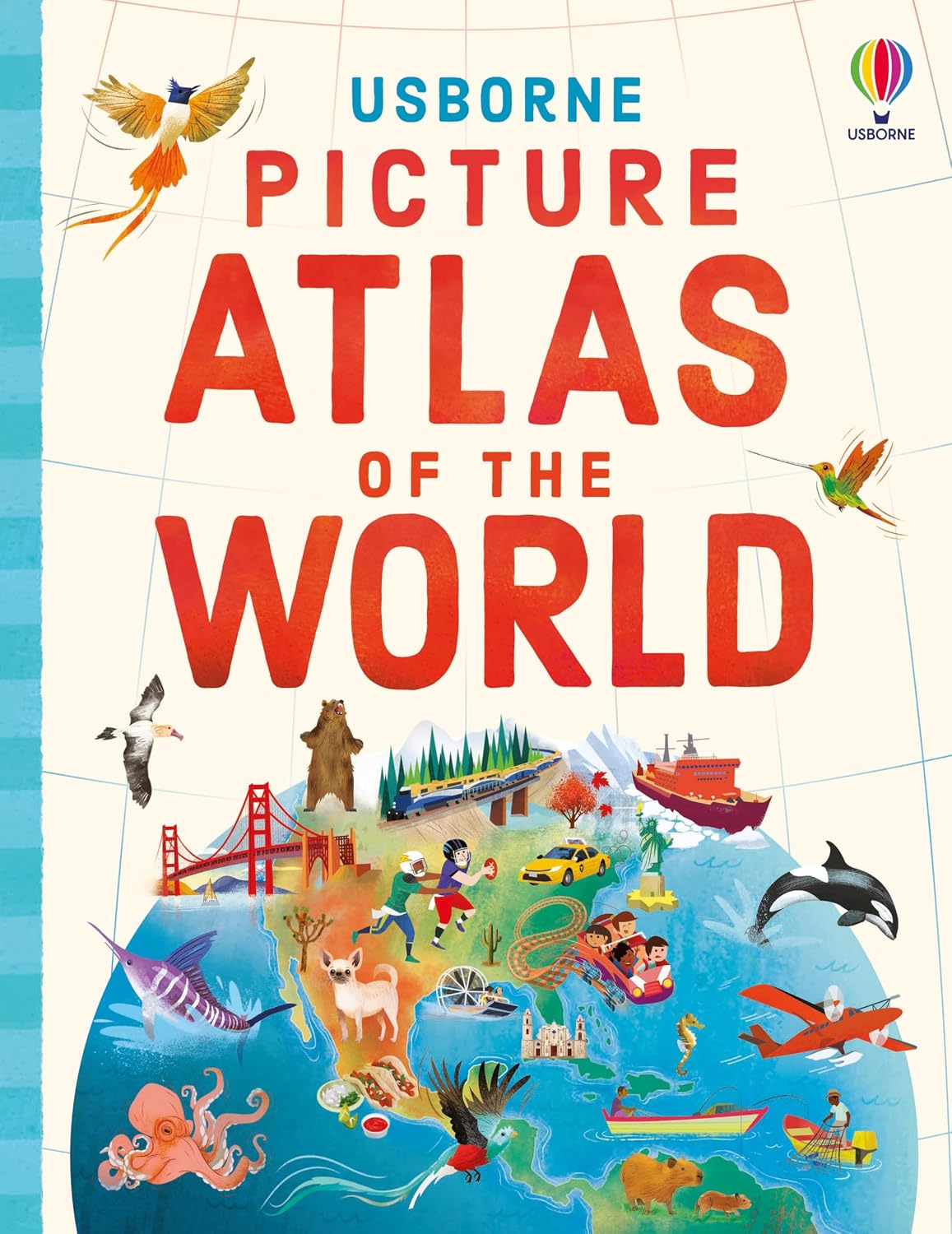
The judges said... This picture atlas contains a huge amount of information, while still being easily understandable. The layout and design choices have been well thought out, and the illustrations throughout are really engaging. A child could spend a long time enjoying this atlas!
Set off on an adventure around the world with this delightful picture atlas. Maps of all the continents are full of fascinating details for young explorers to talk about. Discover people and places, cultures and wildlife from around the world, all brought to life with beautiful illustrations.
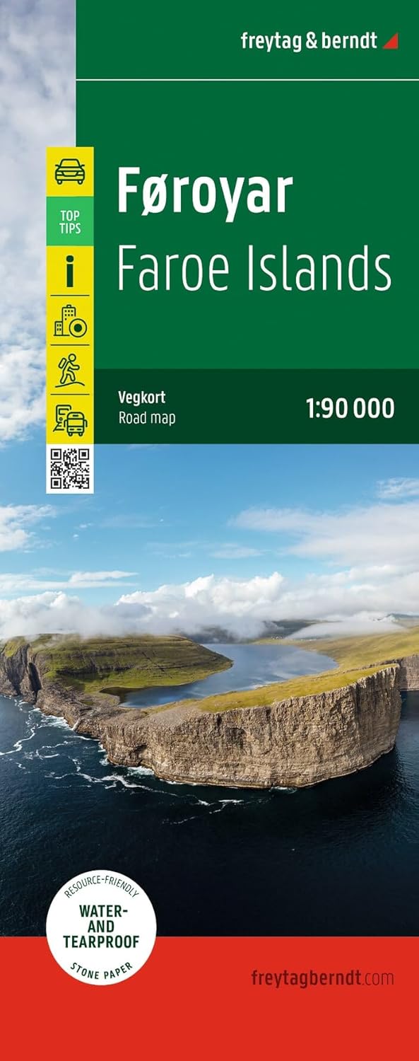
The judges said... F+B have managed to combine features from road and topographic maps in a really successful way. Despite the contours and features the map is clearly labelled and user friendly. The extra information, photos and inset maps make this an excellent tourist map - invaluable for a trip to the Faroes.
A double-sided, 1:90,000 scale road map of the Faroe Islands including hiking trails, public transport detail and further information for tourists. An inset map of Tórshavn is also included, and the map is printed on water and tear-proof stone paper.