
1
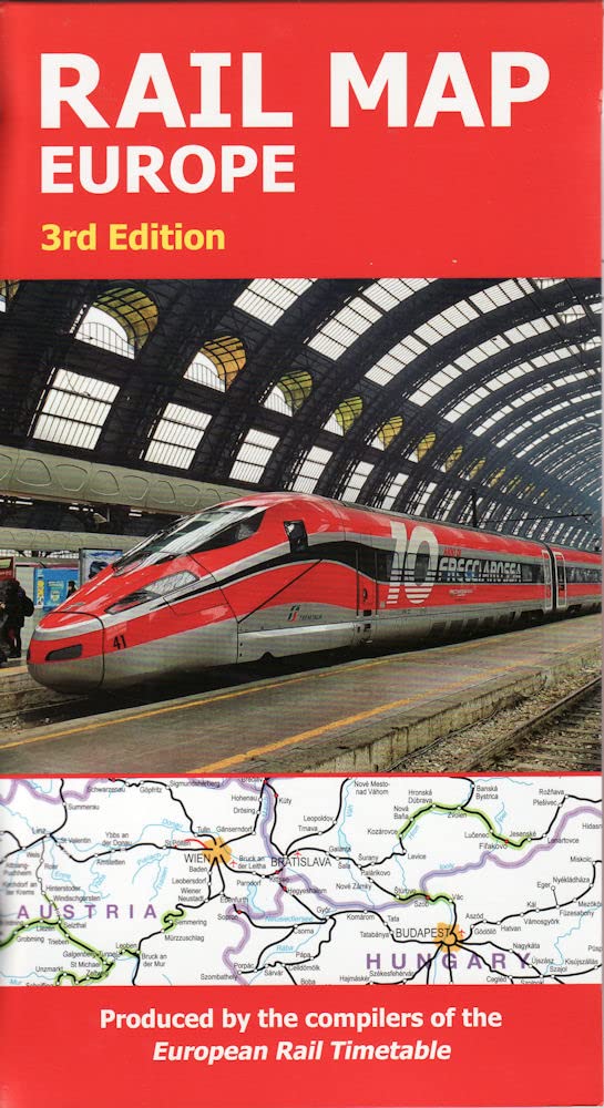
European Rail Map
Our most popular rail map of Europe – perfect for Interrailing, dream trips and short breaks
£12.99
View Details
Our favourite rail maps for planning trips and travelling by train
There’s nothing quite like a journey by train, and we’ve put together our 10 favourite rail maps to help you plan an adventure by rail.
Our most popular rail map of Europe – perfect for Interrailing, dream trips and short breaks

Train travel in Japan is both an effective means of transport and a fantastic cultural experience

A fascinating, in-depth atlas of one of the world’s largest railway systems

A practical map showing everything you need to know when travelling by train in France
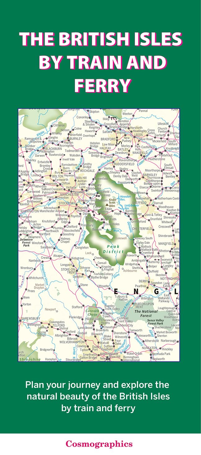
Great for trip planning and exploring the British Isles by train and ferry

Europe’s extensive train network plus suggested itineraries, ticketing information and planning tips

Detailed rail map of Austria developed for railway enthusiasts, trainspotters and Interrail travellers
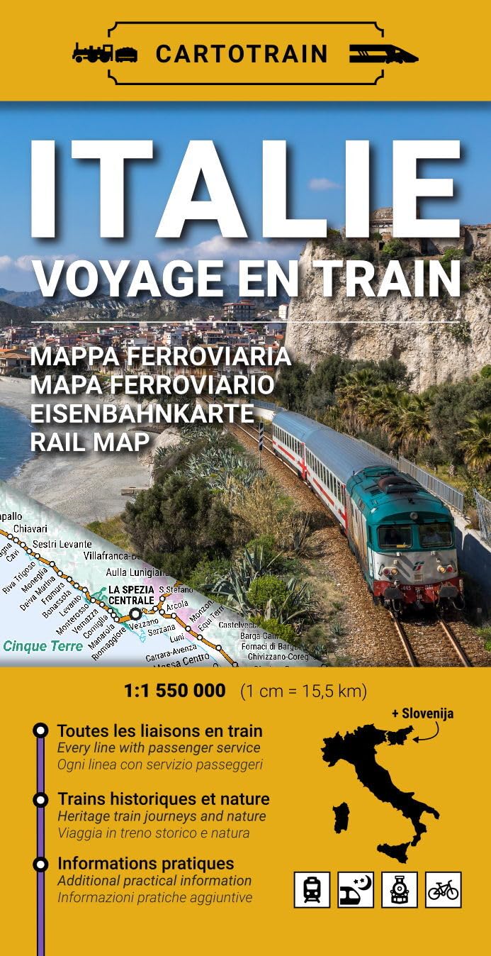
From the Alps to Sicily by train!
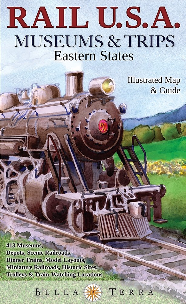
Illustrated map showing railways and points of interest to train enthusiasts down the Eastern Seaboard

Bus, boat and cable car routes shown in addition to the entire Swiss railway network in detail
We’ve chosen a selection of maps from around the world, all of which combine clarity and thoughtful design to create a usable map. Some of these picks also include extra information such as suggested itineraries, or tips for travelling in the region shown.
Consider whether you will be using the map solely to plan, or if you’ll be taking it on your trip with you. If so, look for laminated maps or those with reinforced cardboard covers. Some of these maps also double as travel guides, providing suggested itineraries and useful information.
We recommend pairing a rail map with a travel guide of the country or region you are visiting - useful for planning stops and knowing what to look for out of the window. And don’t forget a book to read on your journey!