
1
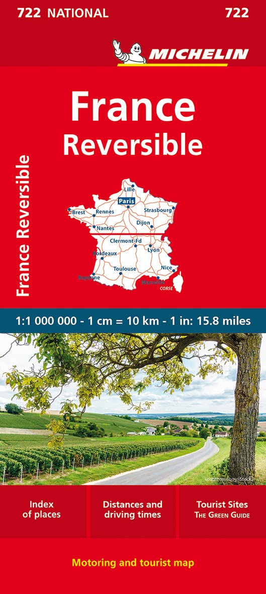
Michelin France [722] National Map
Best for: Driving and route planning
Michelin have been mapping France for more than a century, and their maps are perfect for planning and navigating your route
£6.99
View Details
Our recommended maps for walking, driving and exploring in France
We've selected the best maps of France for whatever your trip entails - whether it's driving through vineyards, hiking in the Alps or exploring Paris.
Best for: Driving and route planning
Michelin have been mapping France for more than a century, and their maps are perfect for planning and navigating your route
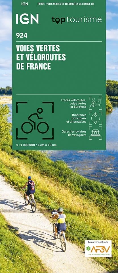
Best for: Cycling
Shows all the major cycling routes in France - over 30,000km covered!
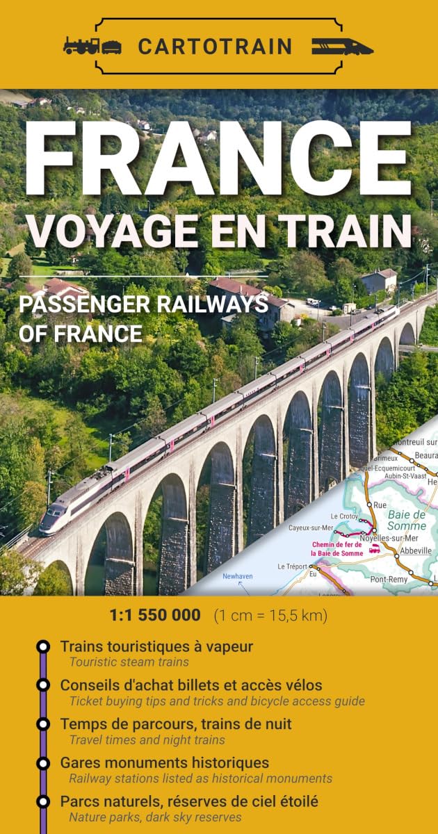
Best for: Travelling by train
A practical map showing everything you need to know when travelling by train in France
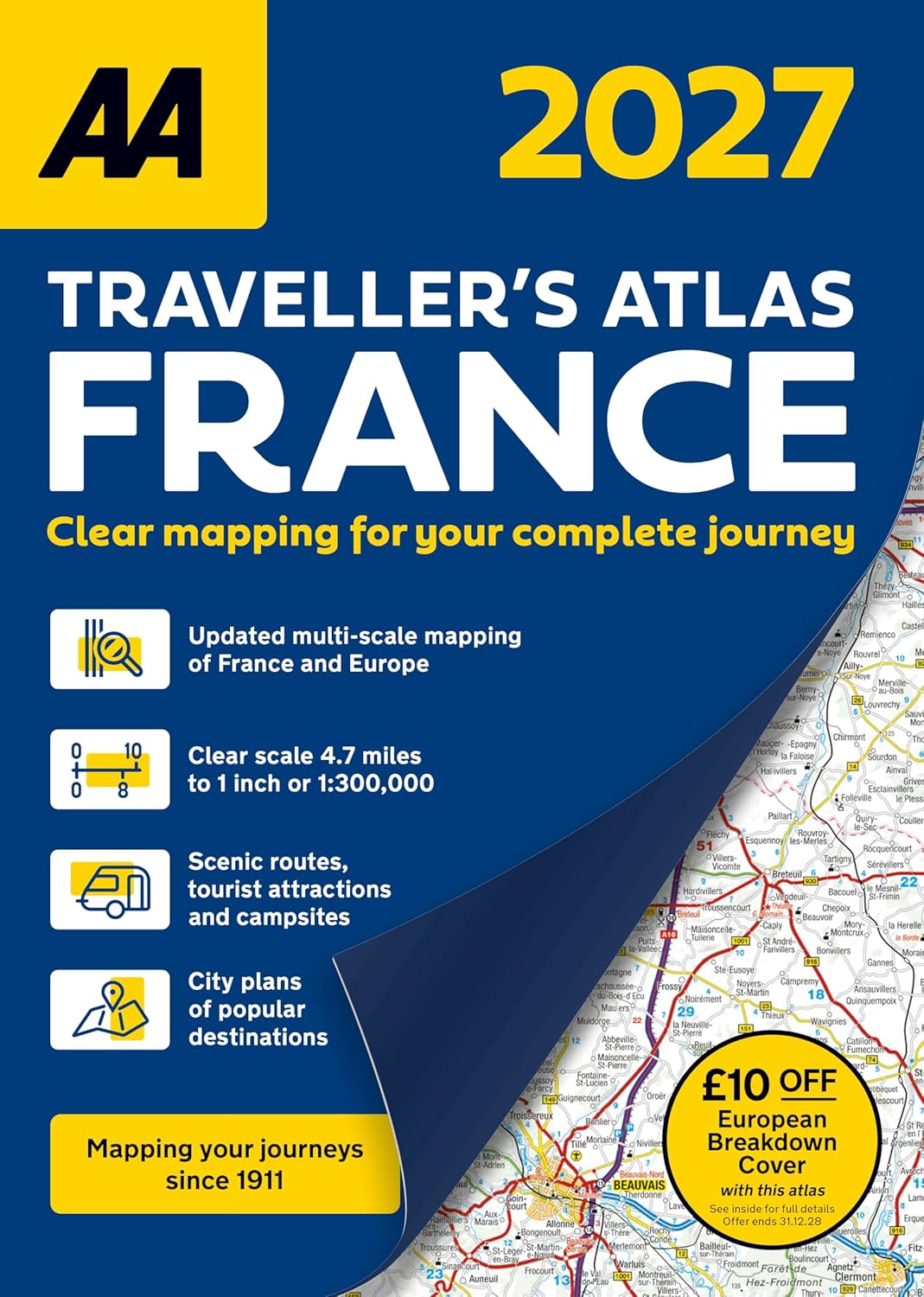
Best for: Road trips
A fully updated and comprehensive atlas designed specifically for British drivers in France
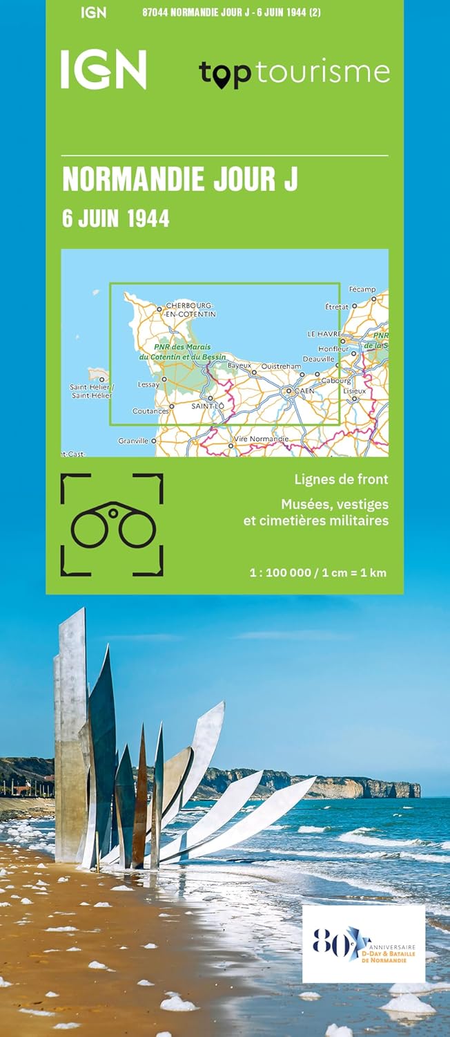
Best for: History enthusiasts
This map illustrates the D-Day landings, and shows present day memorial sites and monuments
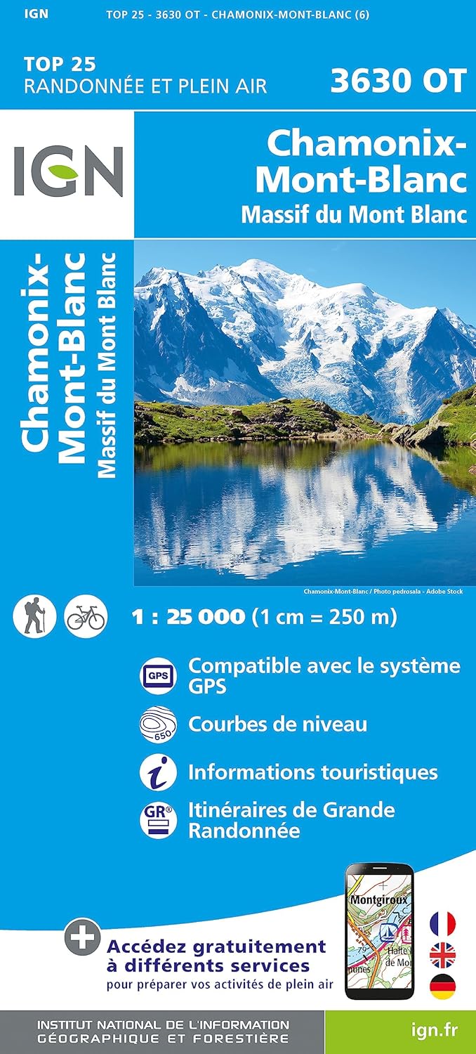
Best for: Walking and hiking
IGN's 1:25,000 Série Bleue maps are the best choice for hiking in France
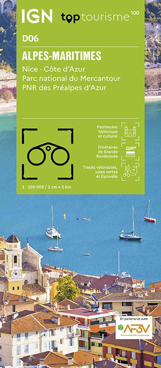
Best for: Driving and exploring regions
IGN's TOP 100 series is perfect for regional sightseeing by car or bike, and planning
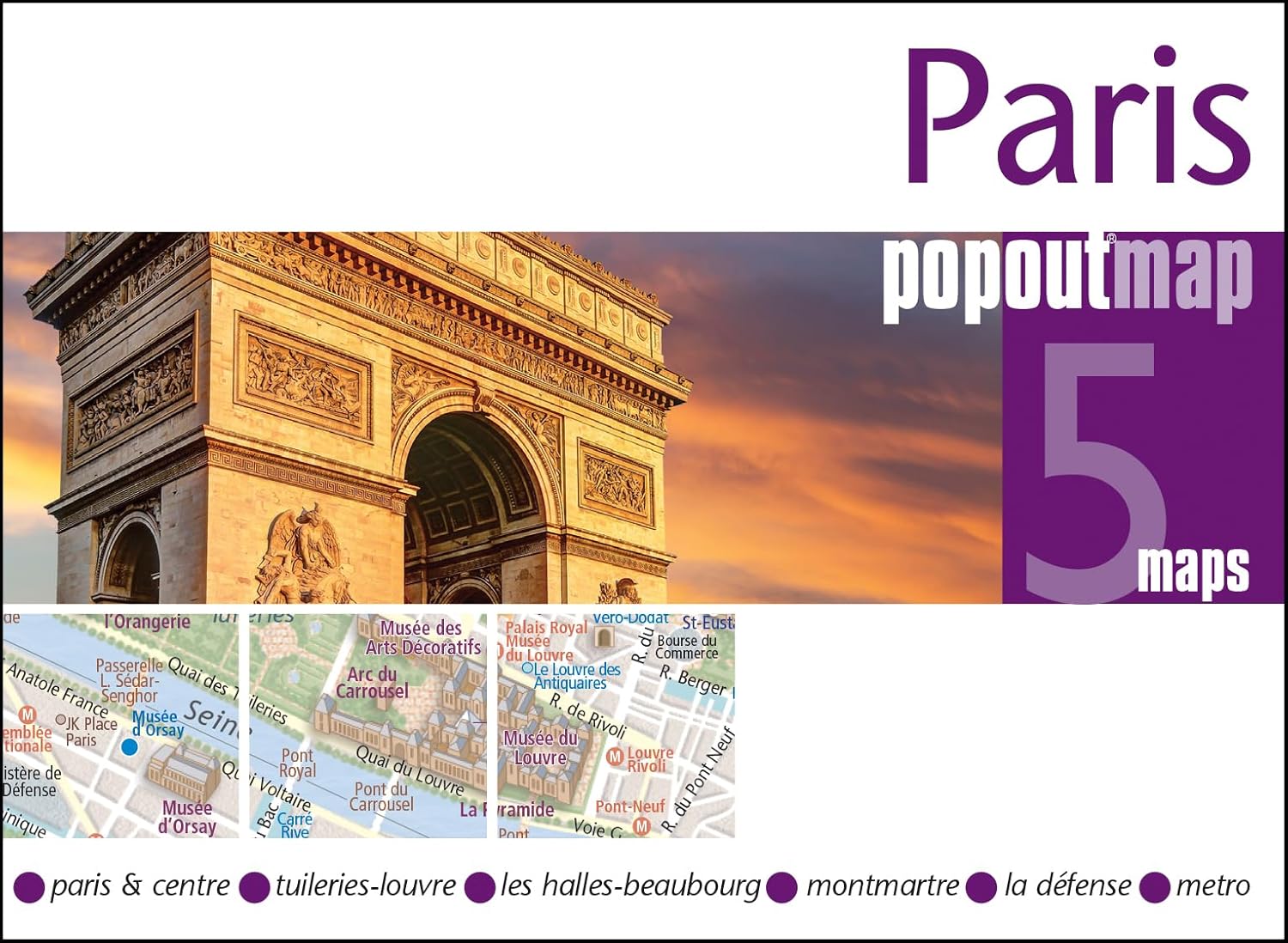
Best for: Practical use on the go
A practical street map that fits in your pocket, and also includes a map of the Paris Metro
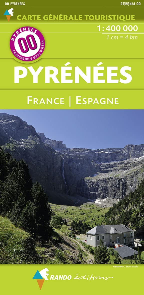
Best for: Outdoor adventures
Laminated map with English legend that shows ski and mountain bike routes in the Pyrenees
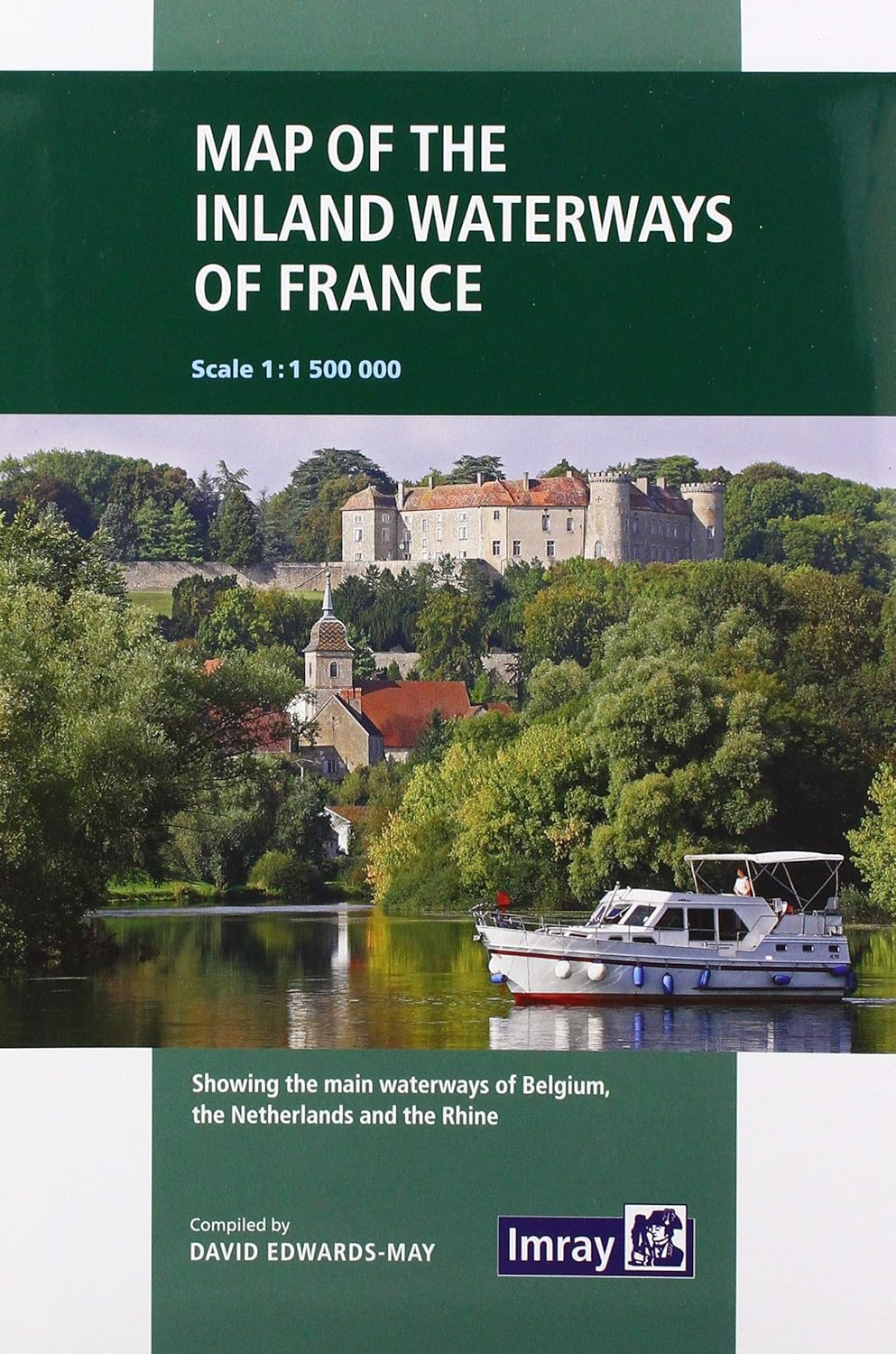
Best for: Navigating France by boat
France’s waterways at 1:1 500 000 scale, with inset maps of the Paris region and the northeast of the country
France is an ever-popular destination at Stanfords, and this list includes some of our most popular maps of the country. We’ve chosen maps with different scales and uses to show the breadth of products available. IGN (Institut Geographique National) maps feature quite heavily as this is France’s national mapping agency!
When choosing a map the most important thing to consider is often the scale. Larger scale maps, such as 1:25,000, are best for walking as they show small areas in greater detail. For cycling, driving or planning, a smaller scale map will suffice, for example 1:100,000 scale.
Consider also the length of your trip and the practical side - you may not want to carry an atlas around on a walking trip!
Pair your map or maps with a guidebook . We have guidebooks available for France as a whole, as well as specific regions and cities. We also have an extensive range of fiction and non-fiction titles about or set in France.