This site requires cookies for account access and purchasing. By using this site you give implied consent. For more information please review our use of cookies in our Cookie Policy and then Accept and Close this bar.



London: City of London Borough Map - Stanfords Print on Demand
£14.99
ISBN
9786000002008
Delivery
Available to order from supplier
Available to order from supplier
Click & Collect
Available to order from supplier
Available to order from supplier
Publisher:
Edward Stanford
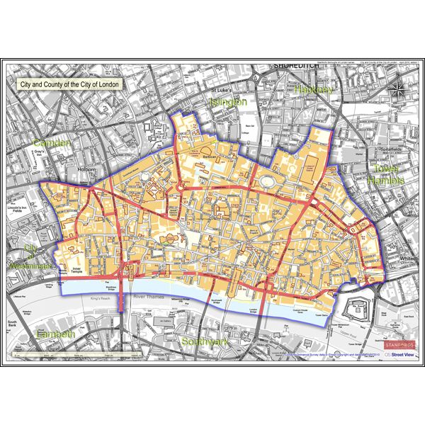
City of London in the Stanfords Maps of London Boroughs (PRINT ON DEMAND/FLAT MAPS) is produced in-house by the digital department at our Long Acre store and has been designed by laying a bespoke, tailored borough map onto on a base map using Ordnance Survey Street View mapping. The borough area is represented by a colour map, with the surrounding area of neighbouring boroughs shown in greyscale background.
City of London in the Stanfords Maps of London Boroughs measures 55x75cm and is presented at a scale of approximately 1:4700.
| Format | Sheet map, rolled |
|---|---|
| ISBN | 9786000002008 |
| Publisher | Edward Stanford |
| Scale | 1:4700 approx |
| Size Unfolded | 55x75cm |
Write Your Own Review
There are no answered questions for this product yet.