This site requires cookies for account access and purchasing. By using this site you give implied consent. For more information please review our use of cookies in our Cookie Policy and then Accept and Close this bar.

Aonach Mor Harvey Summit Map
£8.50
ISBN
9781851376513
Delivery
Available to order from supplier
Available to order from supplier
Click & Collect
Available to order from supplier
Available to order from supplier
Publisher:
Harvey Map Services
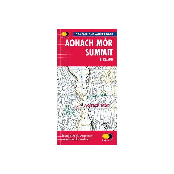
Helps you decipher the detail
Enlarged map for hillwalkers of the summit ridge of Aonach Mor at 1:12,500 scale.
Size 300x410mm. Covers an area approximately 3x4km.
This map of just the summit at a very large scale is intended to provide extra clarity and supplementary detail for a complex piece of terrain. Most commonly it would be used in conjunction with another map of a wider area e.g. the HARVEY Superwalker at 1:25,000 or OS Explorer, which would provide information needed to reach the summit area.
The big scale makes it very clear and readable. Useful for detailed navigation in this complex area, particularly in poor conditions. Has a 100m grid for use with GPS.
Tough. Light. Waterproof.
Extra clear for fine navigation in bad conditions such as mist, darkness or snow
Genuine original HARVEY mapping
Climbing crags named
Enlarged map for hillwalkers of the summit ridge of Aonach Mor at 1:12,500 scale.
Size 300x410mm. Covers an area approximately 3x4km.
This map of just the summit at a very large scale is intended to provide extra clarity and supplementary detail for a complex piece of terrain. Most commonly it would be used in conjunction with another map of a wider area e.g. the HARVEY Superwalker at 1:25,000 or OS Explorer, which would provide information needed to reach the summit area.
The big scale makes it very clear and readable. Useful for detailed navigation in this complex area, particularly in poor conditions. Has a 100m grid for use with GPS.
Tough. Light. Waterproof.
Extra clear for fine navigation in bad conditions such as mist, darkness or snow
Genuine original HARVEY mapping
Climbing crags named
| Author | UNKNOWN |
|---|---|
| Format | Folded Waterproof Map |
| ISBN | 9781851376513 |
| Published | 18/09/2026 |
| Publisher | Harvey Map Services |
| Reference | Summit 1:12,500 Maps |
Write Your Own Review
There are no answered questions for this product yet.