This site requires cookies for account access and purchasing. By using this site you give implied consent. For more information please review our use of cookies in our Cookie Policy and then Accept and Close this bar.

Arkansas River CO NGS Trails Illustrated Fishing & River Map-Guide Map Pack Bundle
£24.95
ISBN
9781566957359
Delivery
Available to order from supplier
Available to order from supplier
Click & Collect
Available to order from supplier
Available to order from supplier
Publisher:
National Geographic Maps
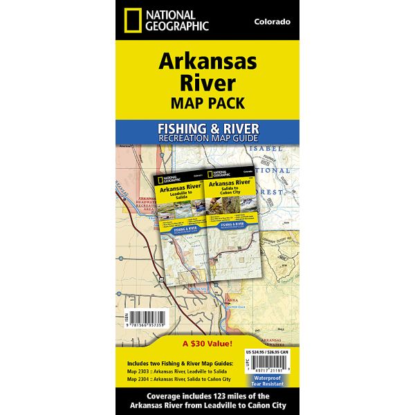
Waterproof Tear-Resistant Fishing & River Maps. The Arkansas River map pack bundle covers 123 miles of the Arkansas from the slowly meandering stream above Leadville to the raging river that passes through the Royal Gorge above Caon City. On its journey the river passes through some of the most heavily run whitewater in the country with nearly inaccessible gorges and rapids with names like 'Raft Ripper' and 'Widowmaker'. The river also passes through the beautiful mountain towns of Leadville, Buena Vista, Salida, and Caon City. Each mile of the river is unique as it meanders and sometimes rushes past a patchwork of ownership including federal, state, local parks, and fishing easements. Each Fishing & River Map Guide includes detailed river maps at a scale of 1 inch = 1/2 mile. At this scale every turn in the river and rapid is clearly shown and labeled. Each page is centred on the river and overlaps with the adjacent pages so finding any location along the river is easy. The maps in
| Format | Sheet map, folded |
|---|---|
| ISBN | 9781566957359 |
| Pages | 1 |
| Published | 01/10/2017 |
| Publisher | National Geographic Maps |
Write Your Own Review
There are no answered questions for this product yet.