This site requires cookies for account access and purchasing. By using this site you give implied consent. For more information please review our use of cookies in our Cookie Policy and then Accept and Close this bar.



Canal and River Cruising Planner of Great Britain
£5.99
ISBN
9781908851260
Delivery
Available to order from supplier
Available to order from supplier
Click & Collect
Available to order from supplier
Available to order from supplier
Publisher:
Heron Maps
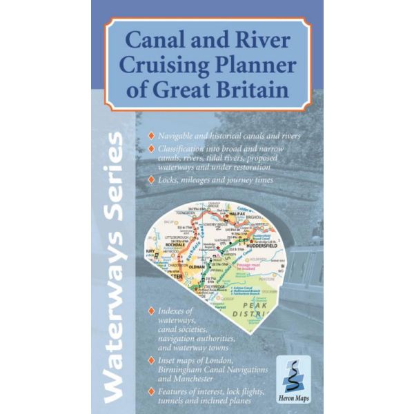
Cruise Planner of The Inland Waterways of Great Britain at 1:660,000, with inset maps of Birmingham Canal Navigations, Manchester and London at 1:155,000.
Features:
Navigable and historical waterways, differentiating between navigations past and present.
Classification into Broad and Narrow Canals, rivers, tidal rivers, proposed waterways and those under restoration.
Lengths of waterways broken down into mileages, approximate journey times and showing locks, tunnels, features of interest, and inclined planes.
Index of waterways with their navigation authorities and societies, a selection of waterway towns and an index of other organisations.
Features:
Navigable and historical waterways, differentiating between navigations past and present.
Classification into Broad and Narrow Canals, rivers, tidal rivers, proposed waterways and those under restoration.
Lengths of waterways broken down into mileages, approximate journey times and showing locks, tunnels, features of interest, and inclined planes.
Index of waterways with their navigation authorities and societies, a selection of waterway towns and an index of other organisations.
| Format | Sheet map, folded |
|---|---|
| ISBN | 9781908851260 |
| Publisher | Heron Maps |
| Scale | 1:660,000/155,000 |
Write Your Own Review
There are no answered questions for this product yet.