This site requires cookies for account access and purchasing. By using this site you give implied consent. For more information please review our use of cookies in our Cookie Policy and then Accept and Close this bar.

Ciucas Mountains
£6.00
ISBN
9789738788589
Delivery
1 available / in stock online
1 available / in stock online
Click & Collect
1 in stock at London Store
1 in stock at London Store
Publisher:
Bel Alpin
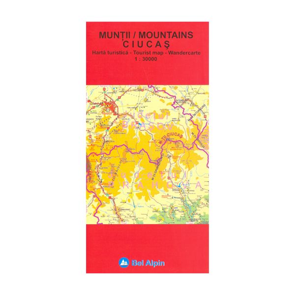
Ciucas Mountains at 1:30,000 on a contoured, GPS compatible map with English language descriptions of 17 hiking routes. The map covers an area around and north of Cheia. Topography is shown by contours at 20m intervals with additional relief shading and colouring for woodlands. An overprint highlights hiking routes, indicating their waymarking signs and the numbers of descriptions provided for them on the reverse side. Also marked are mountain huts. The map has a latitude and longitude grid at intervals of 2’.
| Format | Sheet map, folded |
|---|---|
| ISBN | 9789738788589 |
| Publisher | Bel Alpin |
| Scale | 1:30,000 |
| Size Unfolded | 69x47cm |
Write Your Own Review
There are no answered questions for this product yet.