This site requires cookies for account access and purchasing. By using this site you give implied consent. For more information please review our use of cookies in our Cookie Policy and then Accept and Close this bar.

Collins Primary Atlas
£7.99
ISBN
9780008716516
Delivery
1 available / in stock online
1 available / in stock online
Click & Collect
1 in stock at London Store
1 in stock at London Store
Publisher:
HarperCollins
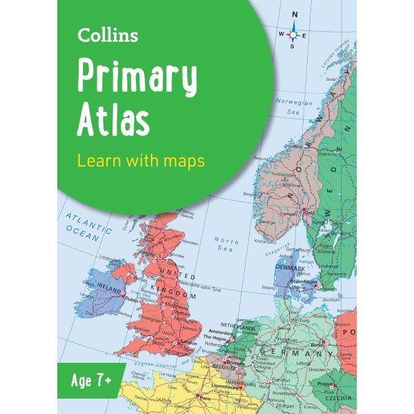
The must-have atlas for children aged 7-11
Collins Primary Atlas is a great introduction to mapping of the UK, Europe and all major regions of the world. It supports the Key Stage 2 curriculum and is suitable for children aged 7-11 years.
This new, fully up-to-date edition includes information on map reading skills, the meaning of scale and measuring distances, and is ideal for classroom use or home learning.
Reference maps:
* Informative, politically coloured and easy-to-read
* National capitals and major cities are clearly labelled
* Maps are supported with national flags and basic national statistics
Continental maps:
* Linked to regional mapping
* Supported by a selection of aerial and terrestrial photographs
* Relief maps show layer colouring and highlight major physical features
This atlas is also available in a eBook format. The next atlas in the series is the Collins School Atlas, suitable for ages 11+ and KS3.
| Weight | 270.000000 |
|---|---|
| Author | Collins Maps |
| Format | Paperback |
| ISBN | 9780008716516 |
| Pages | 68 |
| Published | 13/02/2025 |
| Publisher | HarperCollins |
Write Your Own Review
There are no answered questions for this product yet.