This site requires cookies for account access and purchasing. By using this site you give implied consent. For more information please review our use of cookies in our Cookie Policy and then Accept and Close this bar.



Costa Blanca Mountains | Discovery Walking Guides Super Durable Map | 1:40,000
£11.99
ISBN
9781782750499
Publisher:
Discovery Walking Guides
Detailed road map with accompanying Top 10 Tips booklet.
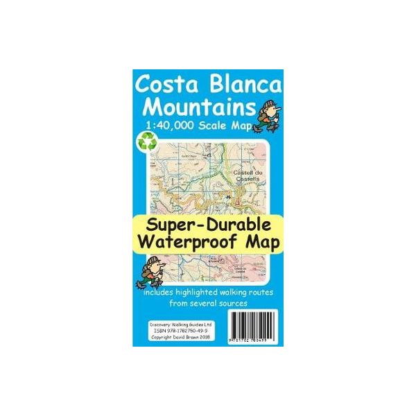
Costa Blanca Mountains at 1:40,000 on a double-sided, GPS compatible map from Discovery Walking Guides, with hiking routes and tourist information shown on detailed topographic mapping which provides an excellent presentation of the terrain. The map is printed on light, waterproof and tear-resistant synthetic paper and covers the mountainous area north of Benidorm, extending northwards from Altea and Relleu to Villalonga.
Contours at 20m intervals are enhanced by altitude colouring with plenty of spot heights and names of peaks, sierras and other topographic features. An overprint indicates in red walks recommended by the publishers in their Walk! Costa Blanca guide, plus in green other waymarked local trails. Symbols show locations of wayposts for hiking trails.
Road network, presented in great detail, includes dirt roads and country paths, and shows locations of petrol stations, parking places and picnic areas, and viewpoints. Other symbols indicate campsites and hotels, bars and local restaurants, tourist information offices, springs, caves, etc. The map has a 1-km UTM grid lines for GPS users.
Contours at 20m intervals are enhanced by altitude colouring with plenty of spot heights and names of peaks, sierras and other topographic features. An overprint indicates in red walks recommended by the publishers in their Walk! Costa Blanca guide, plus in green other waymarked local trails. Symbols show locations of wayposts for hiking trails.
Road network, presented in great detail, includes dirt roads and country paths, and shows locations of petrol stations, parking places and picnic areas, and viewpoints. Other symbols indicate campsites and hotels, bars and local restaurants, tourist information offices, springs, caves, etc. The map has a 1-km UTM grid lines for GPS users.
| Weight | 0.055000 |
|---|---|
| Author | David Brawn |
| Format | Folded Waterproof Map |
| ISBN | 9781782750499 |
| Pages | 2 |
| Published | 27/07/2018 |
| Publisher | Discovery Walking Guides |
| Scale | 1:40,000 |
| Size Unfolded | 60x78cm |
Write Your Own Review
There are no answered questions for this product yet.