This site requires cookies for account access and purchasing. By using this site you give implied consent. For more information please review our use of cookies in our Cookie Policy and then Accept and Close this bar.



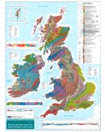
Geological Map of the British Islands and Ireland - Wall Map
£8.95
ISBN
9780751812084
Delivery
7 available / in stock online
7 available / in stock online
Click & Collect
7 in stock at London Store
7 in stock at London Store
Publisher:
British Geological Survey
Dimensions: 63 x 89 cm
Also available as a Folded Map
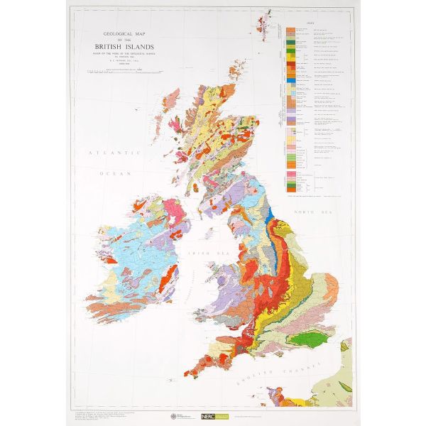
Wall map version, size 64 x 89cm (25" x 35" approx), of the Geological Map of the British Islands at 1:1,584,000 (1” to 25 miles) from the British Geological Survey, showing the bedrock (formerly ‘solid’) geology of the whole of the UK, Ireland, the Channel Islands and part of the English Channel coastline of France. The disposition at surface (outcrops) of the major rock types and named rock units are shown, with a geological map key giving the scale of geochronological eras and chronostratigraphical systems.
The currently available edition is a 2010 reprint of the map’s 5th edition originally published in 1969. The underlying base map shows important towns and cities, main roads, major rivers, significant topographical features, and pre-1965 counties.
Please note: this map is also available in a folded format.
The currently available edition is a 2010 reprint of the map’s 5th edition originally published in 1969. The underlying base map shows important towns and cities, main roads, major rivers, significant topographical features, and pre-1965 counties.
Please note: this map is also available in a folded format.
| Format | Sheet map, rolled |
|---|---|
| ISBN | 9780751812084 |
| Published | 01/01/2002 |
| Publisher | British Geological Survey |
| Scale | 1:1,584,000 |
| Size Unfolded | 64x89 |
Write Your Own Review
There are no answered questions for this product yet.
Related Products
Check items to add to the cart or