This site requires cookies for account access and purchasing. By using this site you give implied consent. For more information please review our use of cookies in our Cookie Policy and then Accept and Close this bar.

Great Britain: The Daily Telegraph Wall Map of Great Britain & Ireland (ENCAPSULATED)
£22.00
ISBN
9781858796789
Delivery
Available to order from supplier
Available to order from supplier
Click & Collect
Available to order from supplier
Available to order from supplier
Publisher:
Roger Lascelles
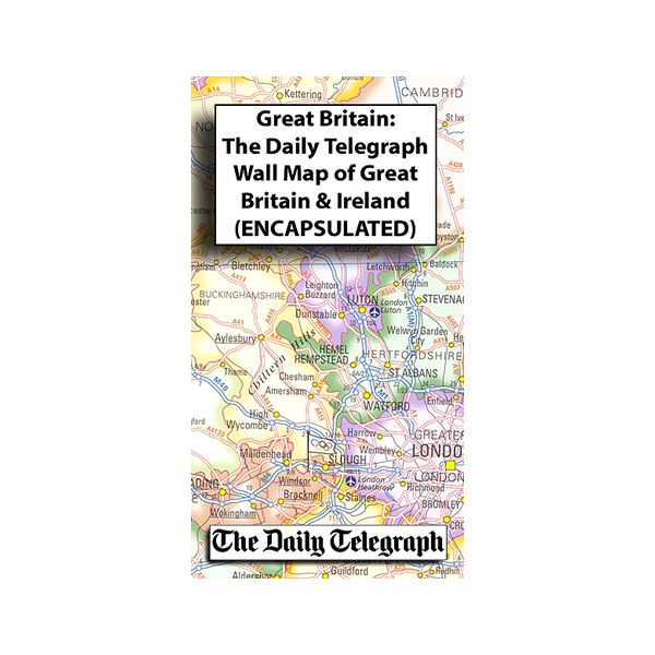
Political wall map of Great Britain and Ireland at 1:1,250,000 from The Daily Telegraph, produced by Roger Lascelles maps. Counties are marked with pale colours and subtle shading along the boundaries, with an inset showing London boroughs in greater detail.
Road detail shows motorways and A roads with their names and junction numbers indicated; airports, ferry routes and railway lines are also highlighted. Beaches are subtly overprinted in yellow, whilst Olympic flags mark the prospective 2012 Olympic sites. Topography is shown through selected spot heights, with basic bathymetric shading used to show the sea floor.
The map also includes an inset of the Great Britain and Ireland at 1:5,000,000, showing some relief shading and national parks and areas of outstanding natural beauty. Another inset shows the flags of the countries and information in area, population, and more.
*This is the encapsulated edition:* the map has been sealed between two sheets of plastic and therefore is more rigid and heavier than laminated maps of the same size. It is also damp-proof and will not crinkle in humid conditions. Encapsulation gives the map a shiny surface, similar to being displayed behind glass.
| Format | Sheet map, rolled |
|---|---|
| ISBN | 9781858796789 |
| Published | 01/03/2009 |
| Publisher | Roger Lascelles |
| Scale | 1:1,250,000 |
| Size Unfolded | 85x120cm |
Write Your Own Review
There are no answered questions for this product yet.