This site requires cookies for account access and purchasing. By using this site you give implied consent. For more information please review our use of cookies in our Cookie Policy and then Accept and Close this bar.

Indiana Counties Map - Standard Map
£32.99
ISBN
dmsg-mow-cnty-IN36-1-Paper
Delivery
10+ available / in stock online
10+ available / in stock online
Click & Collect
10+ in stock at London Store
10+ in stock at London Store
Publisher:
MapSherpa
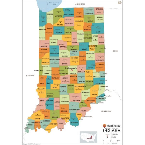
This map has been created exclusively for MapSherpa, and designed for reference or business use. Clear and clean colors & fonts matched with cartographic research makes this map of Indiana Counties Map easily readable and useful. The map shows the 92 counties of Indiana and their borders across the Hoosier State.
| Publication Date | 2021 |
|---|---|
| Size | 91 x 133 cm |
| Publisher | MapSherpa |
| Scale | 1:386,900 |
Write Your Own Review
There are no answered questions for this product yet.