This site requires cookies for account access and purchasing. By using this site you give implied consent. For more information please review our use of cookies in our Cookie Policy and then Accept and Close this bar.

Inland Waterways of France Map
£12.95
ISBN
9781786790644
Delivery
2 available / in stock online
2 available / in stock online
Click & Collect
2 in stock at London Store
2 in stock at London Store
Publisher:
Imray
Overview map of the navigable waterways of France.
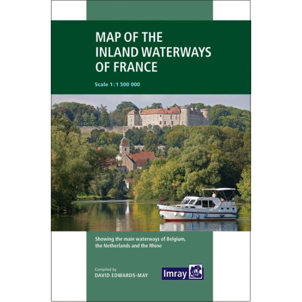
First published in the 1950s under the editorship of EE Benest and later Konrad Nussbaum, the Imray map of the French inland waterway system has always been regarded as the essential reference for planning a visit to France by boat. It is now superseded by this completely recompiled and redrawn edition by David Edwards-May, the leading authority on World canals and waterways.
The new cartography includes improved detail and presents essential information concerning distances and dimensions with a greater clarity than on previous editions. The map continues to cover the Low Countries and the western part of Germany and now also includes large scale insets of the Paris region and northeast France. The scale remains at 1:1 500 000
The new cartography includes improved detail and presents essential information concerning distances and dimensions with a greater clarity than on previous editions. The map continues to cover the Low Countries and the western part of Germany and now also includes large scale insets of the Paris region and northeast France. The scale remains at 1:1 500 000
| Weight | 0.018000 |
|---|---|
| Author | Edwards-May, David |
| Format | Sheet map, folded |
| ISBN | 9781786790644 |
| Published | 17/01/2019 |
| Publisher | Imray |
| Scale | 1:1,500,000 |
| Size Unfolded | 68x82cm |
Write Your Own Review
There are no answered questions for this product yet.