This site requires cookies for account access and purchasing. By using this site you give implied consent. For more information please review our use of cookies in our Cookie Policy and then Accept and Close this bar.



Ireland Collins Touring Map
£5.99
ISBN
9780008369965
Delivery
4 available / in stock online
4 available / in stock online
Click & Collect
4 in stock at London Store
4 in stock at London Store
Publisher:
HarperCollins
Large full colour map of the whole of Ireland showing the road network in detail, and with a special
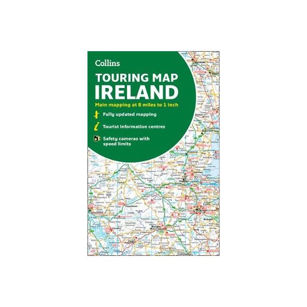
Large full colour map of the whole of Ireland showing the road network in detail, and with a special emphasis on places of tourist interest.
This map has a handy touring scale of 7.5 miles to 1 inch (1:475,200). It has more than 20 categories of tourist information depicted on the map with clear, colourful red and yellow symbols. There is a full index to place names and places of interest.
This map includes:
* All classified and most minor roads
* Railway network and ferry routes
* Viewpoints and sandy beaches
* Speed enforcement zones and safety camera locations
* Index to 20 categories of tourist information
* Includes castles, historic houses, gardens, beaches and golf courses
| Weight | 140.000000 |
|---|---|
| Author | Collins Maps |
| Format | Sheet map, folded |
| ISBN | 9780008369965 |
| Pages | 1 |
| Published | 17/03/2022 |
| Publisher | HarperCollins |
Write Your Own Review
There are no answered questions for this product yet.