This site requires cookies for account access and purchasing. By using this site you give implied consent. For more information please review our use of cookies in our Cookie Policy and then Accept and Close this bar.

Ireland OSI Official Road Atlas A4
£14.99
ISBN
9781912140862
Delivery
Available to order from supplier
Available to order from supplier
Click & Collect
Available to order from supplier
Available to order from supplier
Publisher:
Ordnance Survey Ireland
.
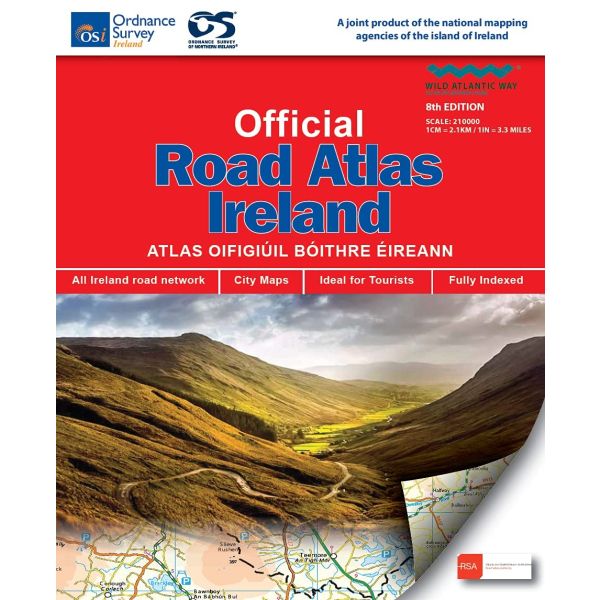
This edition contains updated road maps covering Ireland, plus City and Town Maps and Motoring Information, Distance Charts and Extensive Gazetteer (Index of Towns).
This new 8th edition is published in conjunction with Ordnance Survey Northern Ireland and the Road Safety Authority (RSA) and features Collision Zones, Speed Detection Zones and Tolled Roads. (This product is produced with the co-operation of Ordnance Survey Northern Ireland, OSNI).
This new 8th edition is published in conjunction with Ordnance Survey Northern Ireland and the Road Safety Authority (RSA) and features Collision Zones, Speed Detection Zones and Tolled Roads. (This product is produced with the co-operation of Ordnance Survey Northern Ireland, OSNI).
| Format | Spiral bound |
|---|---|
| ISBN | 9781912140862 |
| Publisher | Ordnance Survey Ireland |
Write Your Own Review
There are no answered questions for this product yet.