This site requires cookies for account access and purchasing. By using this site you give implied consent. For more information please review our use of cookies in our Cookie Policy and then Accept and Close this bar.



Isle of Man Outdoor Leisure 2-Map Set
£8.90
ISBN
9781998998333
Publisher:
Isle of Man Government Mapping Unit
Set of two detailed survey maps.
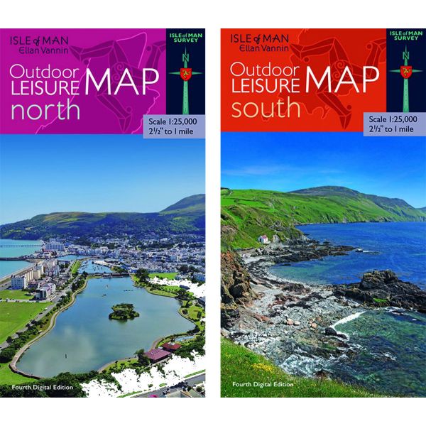
Set of two double-sided maps to cover the whole of the Isle of Man. Roads, tracks and footpaths are shown, as are field boundaries. Hill country with public access is clearly marked, and the map also shows car parks and picnic sites. The TT course is shown in detail with its bends and other landmarks named. Contours are shown at 100ft intervals. The base cartography is reduced from 6 inches to the mile scale, which makes some of the lettering very small, but the names of the main features are reset at a larger size for clarity. The British National Grid is shown at 1km intervals (latitude and longitude are not shown).
| Format | Sheet map, folded |
|---|---|
| ISBN | 9781998998333 |
| Published | 2021 |
| Publisher | Isle of Man Government Mapping Unit |
| Scale | 1:25,000 |
Write Your Own Review
There are no answered questions for this product yet.