This site requires cookies for account access and purchasing. By using this site you give implied consent. For more information please review our use of cookies in our Cookie Policy and then Accept and Close this bar.

Lake District Harvey British Mountain Map XT40
£18.95
ISBN
9781851376865
Delivery
5 available / in stock online
5 available / in stock online
Click & Collect
5 in stock at London Store
5 in stock at London Store
Publisher:
Harvey Maps
Part of the british mountain maps series. Waterproof.
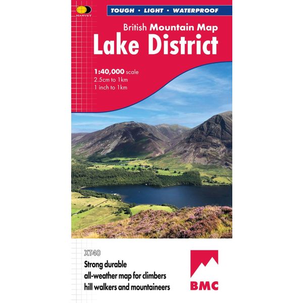
Waterproof mountain map of the Lake District from Harvey at 1:40,000, with a geological map of the region on the reverse, enlargements of Scafell and Pillar, and advice on navigating the region safely.
*MAIN MAP:* Topography is shown through clear altitude shading, spot heights, contours at 15m intervals, and index contours at 75m intervals. A variety of symbols are used to show terrain detail, such as caves/mines, major and climbing crags, shafts, sinkholes, cairns, and large boulders. The map is GPS compatible, with the National Grid overprinted on the cartography.
Rights of way shown include tracks, long distance and intermittent paths. Road detail includes minor, residential and forest roads; railway lines and stops are marked, as are chairlifts and ski tows. Points of interest and facilities such as campsites, information points, and mountain rescue post are prominently highlighted.
*ENLARGEMENTS:* Scafell and Pillar are both shown at 1:15,000 in the same cartographic style as the main map, but with more clarity.
*GEOLOGICAL MAP:* The reverse shows a geological map of the region from the British Geological Survey, with detailed relief shading and colours used to denote different types of rock. There is additional written geological information, as well as a geological timeline of the region.
*ADDITIONAL INFORMATION:* There is also information on mountain incident and first aid, navigating the region safely, and useful contact numbers are provided. There are also lists of local climbing venues, mountaineering club huts, and mountain bothies.
Printed on tough, hard-wearing polyethylene, the map is waterproof, tear-resistant, and comes in a clear plastic wallet.
*MAIN MAP:* Topography is shown through clear altitude shading, spot heights, contours at 15m intervals, and index contours at 75m intervals. A variety of symbols are used to show terrain detail, such as caves/mines, major and climbing crags, shafts, sinkholes, cairns, and large boulders. The map is GPS compatible, with the National Grid overprinted on the cartography.
Rights of way shown include tracks, long distance and intermittent paths. Road detail includes minor, residential and forest roads; railway lines and stops are marked, as are chairlifts and ski tows. Points of interest and facilities such as campsites, information points, and mountain rescue post are prominently highlighted.
*ENLARGEMENTS:* Scafell and Pillar are both shown at 1:15,000 in the same cartographic style as the main map, but with more clarity.
*GEOLOGICAL MAP:* The reverse shows a geological map of the region from the British Geological Survey, with detailed relief shading and colours used to denote different types of rock. There is additional written geological information, as well as a geological timeline of the region.
*ADDITIONAL INFORMATION:* There is also information on mountain incident and first aid, navigating the region safely, and useful contact numbers are provided. There are also lists of local climbing venues, mountaineering club huts, and mountain bothies.
Printed on tough, hard-wearing polyethylene, the map is waterproof, tear-resistant, and comes in a clear plastic wallet.
| Author | UNKNOWN |
|---|---|
| Format | Folded Waterproof Map |
| ISBN | 9781851376865 |
| Pages | 2 |
| Published | 30/09/2019 |
| Publisher | Harvey Maps |
| Reference | British Mountain 1:40,000 Maps |
| Scale | 1:40,000 |
| Size Folded | 12.5x23.5cm |
| Size Unfolded | 99x94cm |
Write Your Own Review
There are no answered questions for this product yet.