This site requires cookies for account access and purchasing. By using this site you give implied consent. For more information please review our use of cookies in our Cookie Policy and then Accept and Close this bar.

Lake District South East Harvey Superwalker XT25
£15.95
ISBN
9781851375486
Delivery
2 available / in stock online
2 available / in stock online
Click & Collect
2 in stock at London Store
2 in stock at London Store
Publisher:
Harvey Maps
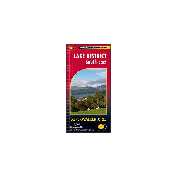
The south-eastern part of the Lake District at 1:25,000 on a light, waterproof and tear-resistant map from Harvey Map Services in their Superwalker series. Coverage includes Kendal, Windermere, Bowness-on-Windermere, Coniston, Newby Bridge, Coniston Water, Lake Windermere, etc, and extends from Ambleside in the north to Newby Bridge in the south.
PLEASE NOTE: this title is also available as a pocket-size Ultramap with its scale reduced to 1:40,000 - to see the list of titles available in this series please click on the series link.
Maps in Harvey’s Superwalker series have contours at 15m intervals, with additional graphics for various types of terrain (crags, large boulders, scattered rocks) and colouring for different kinds of land use or vegetation (pastures, bogs, forests or woodland, etc). The maps show local hiking paths, indicating where appropriate long-distance routes, and boundaries of national parks or other protected areas. Scottish titles also indicate Munro, Corbett and Graham hills. Some maps additionally highlight local cycle routes. A range of symbols mark various facilities for walkers including youth or independent hostels, campsites and caravan sites, information points, etc. Each map has a 1-km British or Irish national grid.
PLEASE NOTE: this title is also available as a pocket-size Ultramap with its scale reduced to 1:40,000 - to see the list of titles available in this series please click on the series link.
Maps in Harvey’s Superwalker series have contours at 15m intervals, with additional graphics for various types of terrain (crags, large boulders, scattered rocks) and colouring for different kinds of land use or vegetation (pastures, bogs, forests or woodland, etc). The maps show local hiking paths, indicating where appropriate long-distance routes, and boundaries of national parks or other protected areas. Scottish titles also indicate Munro, Corbett and Graham hills. Some maps additionally highlight local cycle routes. A range of symbols mark various facilities for walkers including youth or independent hostels, campsites and caravan sites, information points, etc. Each map has a 1-km British or Irish national grid.
| Weight | 0.064000 |
|---|---|
| Author | UNKNOWN |
| Format | Folded Waterproof Map |
| ISBN | 9781851375486 |
| Published | 23/02/2015 |
| Publisher | Harvey Maps |
| Scale | 1:25,000 |
| Size Folded | 12x24cm |
| Size Unfolded | 136x49cm |
Write Your Own Review
There are no answered questions for this product yet.