This site requires cookies for account access and purchasing. By using this site you give implied consent. For more information please review our use of cookies in our Cookie Policy and then Accept and Close this bar.



Langhe Meridionali [18] 1:50,000 IGC Hiking Map
£19.99
ISBN
9788896455678
Publisher:
Istituto Geografico Centrale
Hiking map with footpaths, long-distance routes and accommodation
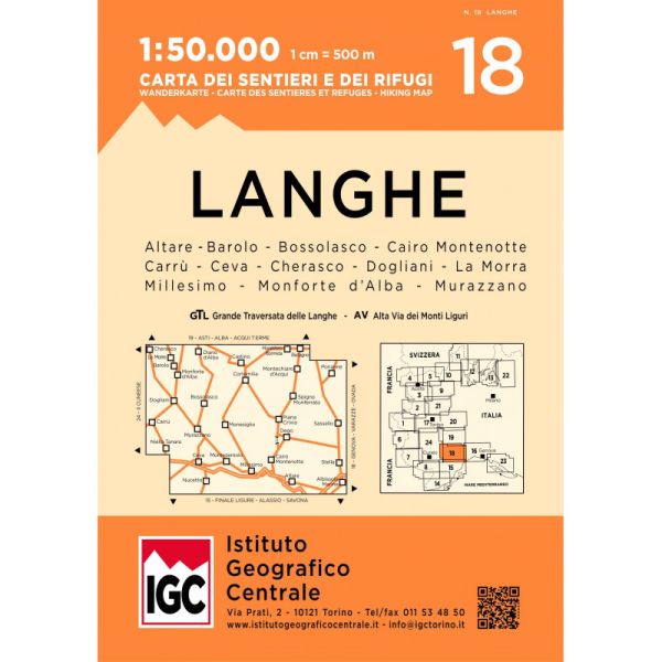
The southern part of the Langhe region of Piedmont, famous for its wines, cheeses, and truffles, in a series contoured hiking maps at 1:50,000 with local trails, long-distance footpaths, mountain accommodation, etc. from the Turin based Istituto Geografico Centrale.
Maps in this series have contours at 50m intervals, enhanced by shading and graphic relief. An overprint highlights local footpaths and long-distance routes, including the GTA (Grande Traversata delle Alpi), Via Alpina, Tour Monte Rosa, and Alta Via del Monti Liguri - the high level route along the Ligurian Alps. Difficult sections of the routes and the Via Ferrata passages are indicated. New editions now also include an overprint highlighting cycling routes, where indicated in the map’s individual description. The maps also show various types of alpine accommodation: refuges, shelters, hostels, campsites, etc. Cable car lines, chair lifts, and mountain railways are marked, as well as, for road users, entry restrictions on local tracks. Each map covers approximately 50 x 40 km / 30 x 25 miles. The maps have no geographical coordinates. Map legend includes English.
To see the other titles in this series please click on the series grid.
| Format | Sheet map, folded |
|---|---|
| ISBN | 9788896455678 |
| Publisher | Istituto Geografico Centrale |
| Reference | 018 |
| Scale | 1:50,000 |
| Size Folded | 13.5x19cm |
| Size Unfolded | 105x79cm |
Write Your Own Review
There are no answered questions for this product yet.