This site requires cookies for account access and purchasing. By using this site you give implied consent. For more information please review our use of cookies in our Cookie Policy and then Accept and Close this bar.

London A-Z Premier Map
£8.99
ISBN
9780008789480
Delivery
10+ available / in stock online
10+ available / in stock online
Click & Collect
10+ in stock at London Store
10+ in stock at London Store
Publisher:
HarperCollins
Navigate your way around London with this detailed, easy-to-use, and up-to-date A-Z Premier Map.
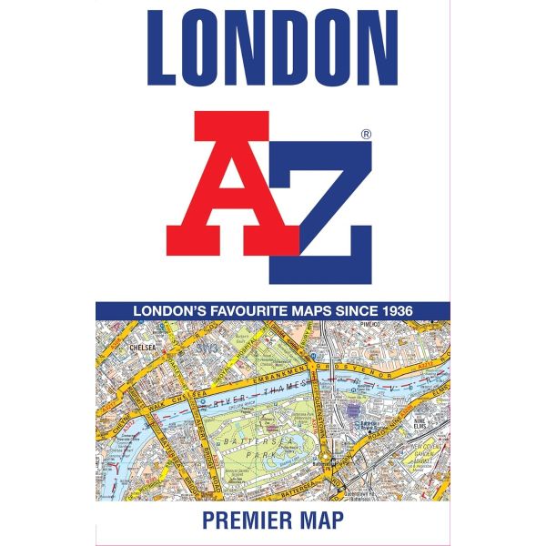
Navigate your way around London with this detailed, easy-to-use, and up-to-date A-Z Premier Map
A full-colour, single sided, fold-out street map, covering a six-mile radius from Charing Cross in Central London. Extending to Muswell Hill to the north, London City Airport to the east, Crystal Palace to the south, and Wembley to the west.
Attached to the cover is a booklet containing a comprehensive index of more than 39,500 streets, along with selected flats, walkways, places of interest, fire stations, hospitals and hospices within this region.
Also included on the map are postcode districts, one-way streets, the congestion zone boundary and the LEZ boundary.
This iconic map is a trusted means of finding your way around the capital city.
A full-colour, single sided, fold-out street map, covering a six-mile radius from Charing Cross in Central London. Extending to Muswell Hill to the north, London City Airport to the east, Crystal Palace to the south, and Wembley to the west.
Attached to the cover is a booklet containing a comprehensive index of more than 39,500 streets, along with selected flats, walkways, places of interest, fire stations, hospitals and hospices within this region.
Also included on the map are postcode districts, one-way streets, the congestion zone boundary and the LEZ boundary.
This iconic map is a trusted means of finding your way around the capital city.
| Weight | 0.280000 |
|---|---|
| Author | A-Z Maps |
| Format | Sheet map, folded |
| ISBN | 9780008789480 |
| Pages | 2 |
| Published | 23/04/2026 |
| Publisher | HarperCollins |
Write Your Own Review
There are no answered questions for this product yet.