This site requires cookies for account access and purchasing. By using this site you give implied consent. For more information please review our use of cookies in our Cookie Policy and then Accept and Close this bar.

London Guy Fox Children's Map
£2.95
ISBN
9781904711049
Delivery
10+ available / in stock online
10+ available / in stock online
Click & Collect
10+ in stock at London Store
10+ in stock at London Store
Publisher:
Guy Fox Ltd
Pocket-sized, illustrated map of central London for children.
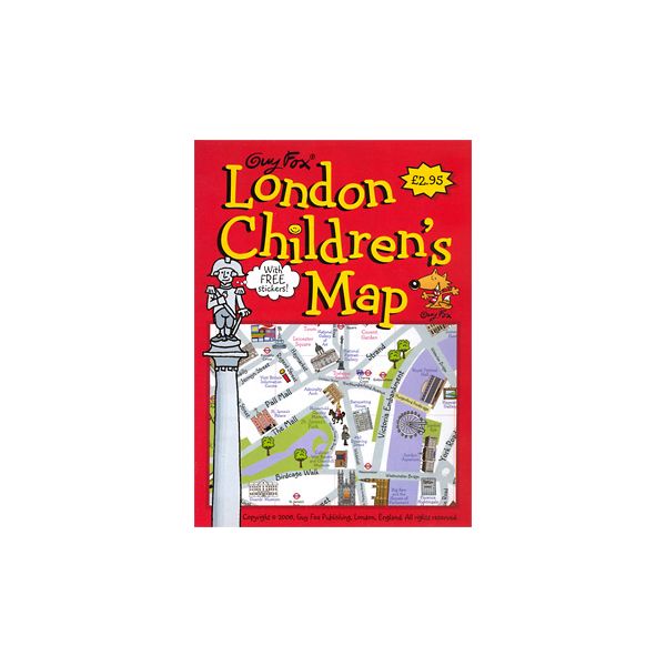
Guy Fox''s "London Children''s Map" is a simple, illustrated pocket-sized map of central London, showing all the city''s top sites and fun attractions with cartoon images. The map comes with free stickers, so you can decorate your map yourself! Major roads are marked, as are London''s parks. Tube and rail stations are shown. A special mini-map gives detailed information about the Changing of the Guard, including the route, timetable and how to tell the different regiments apart.
Visitor Information is given about all the top sites, including phone numbers and web addresses, as well as for general London tourist information centres and some sightseeing transport companies. The map is indexed for top sights and landmarks. The map covers from Mile End Park in the east to Kensington Gardens in the west, and from Battersea Park in the south to Primrose Hill in the north.
| Author | Kourtney Harper |
|---|---|
| Format | Sheet map, folded |
| ISBN | 9781904711049 |
| Pages | 2 |
| Published | 27/01/2006 |
| Publisher | Guy Fox Ltd |
| Size Folded | 11x15cm |
| Size Unfolded | 52x59cm |
Write Your Own Review
There are no answered questions for this product yet.