This site requires cookies for account access and purchasing. By using this site you give implied consent. For more information please review our use of cookies in our Cookie Policy and then Accept and Close this bar.

Mapping Britain: The Story of an Island through the Ordnance Survey Archives
£35.00
ISBN
9781399625845
Delivery
10+ available / in stock online
10+ available / in stock online
Click & Collect
10+ in stock at London Store
10+ in stock at London Store
Publisher:
Weidenfeld & Nicolson
A beautiful illustrated volume that tells the story of Britain - the land and its people - through the magnificent archive of Ordnance Survey
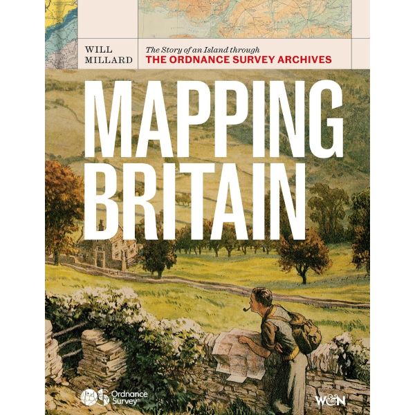
Discover the story of Britain as you've never seen it before through the extraordinary archive of Ordnance Survey
Ordnance Survey has been the home of British mapmaking since 1745, when a twenty-one-year old engineer was first tasked with a small-scale military survey of Scotland. Since then, its maps have borne witness to nearly three centuries of phenomenal transformation, from the British Empire to the Industrial Revolution, World War I to the digital era, and are still trusted and treasured by millions of us today.
In Mapping Britain, Will Millard brings the illustrious Ordnance Survey archive to life in a fully-illustrated story of Britain that explores what these maps can tell us about where, why and how we have moved around this island over the centuries. We find disappearing villages, secretive smuggling paths, top-secret military plans and even the detailed maps of Buckingham Palace gifted to Queen Victoria on her fiftieth jubilee.
Rich, rewarding and endlessly fascinating, Mapping Britain is an unmissable record of how our landscape has changed - and how it might do so in the future.
Ordnance Survey has been the home of British mapmaking since 1745, when a twenty-one-year old engineer was first tasked with a small-scale military survey of Scotland. Since then, its maps have borne witness to nearly three centuries of phenomenal transformation, from the British Empire to the Industrial Revolution, World War I to the digital era, and are still trusted and treasured by millions of us today.
In Mapping Britain, Will Millard brings the illustrious Ordnance Survey archive to life in a fully-illustrated story of Britain that explores what these maps can tell us about where, why and how we have moved around this island over the centuries. We find disappearing villages, secretive smuggling paths, top-secret military plans and even the detailed maps of Buckingham Palace gifted to Queen Victoria on her fiftieth jubilee.
Rich, rewarding and endlessly fascinating, Mapping Britain is an unmissable record of how our landscape has changed - and how it might do so in the future.
| Author | Millard, Will |
|---|---|
| Format | Hardback |
| ISBN | 9781399625845 |
| Pages | 256 |
| Published | 01/10/2026 |
| Publisher | Weidenfeld & Nicolson |
Write Your Own Review
There are no answered questions for this product yet.