This site requires cookies for account access and purchasing. By using this site you give implied consent. For more information please review our use of cookies in our Cookie Policy and then Accept and Close this bar.



Oarsman's and Angler's Map of the Thames
£25.00
ISBN
9786000511340
Delivery
10+ available / in stock online
10+ available / in stock online
Click & Collect
10+ in stock at London Store
10+ in stock at London Store
Publisher:
Old Folding Maps
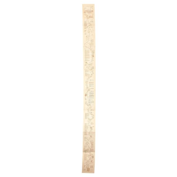
The Thames from its source to London Bridge on a cloth-backed reproduction of an “Oarsman’s and Angler’s” map, published in 1889 by James Reynolds & Sons. The map, 170cm / 67” long, shows locations along the river with the network of roads and railway lines. Locks and bridges are annotated with measurements for clearance, etc. Place names and accompanying notes are easy to read in this size reproduction.
Each individual cloth-backed map is sold folded in a colourful case covered with a unique design marbled paper – no two cases are identical.
| Weight | 114.000000 |
|---|---|
| Format | Sheet map, folded |
| ISBN | 9786000511340 |
| Publisher | Old Folding Maps |
| Size Folded | 18.5x23cm |
| Size Unfolded | 12x170cm |
Write Your Own Review
There are no answered questions for this product yet.