This site requires cookies for account access and purchasing. By using this site you give implied consent. For more information please review our use of cookies in our Cookie Policy and then Accept and Close this bar.

Oxford Urban Nature Map
£9.00
ISBN
9781914432194
Delivery
Available to order from supplier
Available to order from supplier
Click & Collect
Available to order from supplier
Available to order from supplier
Publisher:
Urban Good
A beautiful folded A1 map of Oxford's green and blue spaces, from rivers, commons and meadows to parks, fens, ancient woodland, play spaces and hidden wildlife corners. Double-sided, with a 24-panel explorer atlas on the reverse to inspire walks, family adventures and everyday nature discovery.
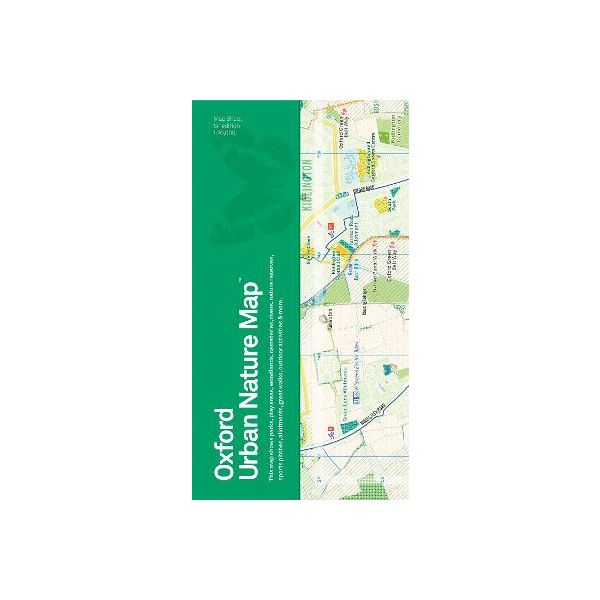
The Oxford Urban Nature map is a beautiful folded A1 map celebrating the city's parks, rivers, meadows, commons, woodland, fens, play spaces, viewpoints, wildlife encounters and hidden green corners.
Oxford is a city shaped by water and nature: the Thames, Cherwell and Oxford Canal; Port Meadow and Iffley Meadows; Lye Valley, Shotover, Rock Edge, Trap Grounds, Aston's Eyot and many more places where the wild city can be explored. This map brings them together in one clear, inspiring and highly illustrated guide.
The front shows Oxford's green and blue spaces in rich cartographic detail. The reverse is a 24-panel explorer atlas with features on Oxford's waterways, seasonal nature, epic trees, plants and animals to spot, fungi, family activities, micro-adventures and practical ways to help nature recover.
Designed for residents, visitors, families, schools, walkers, cyclists, students, ecologists and map lovers, it is both a useful city map and an invitation to see Oxford differently. Use it to plan a walk, find a new park, follow a river, visit a meadow in bloom, watch wildlife, discover a viewpoint or begin a small local adventure.
Oxford is a city shaped by water and nature: the Thames, Cherwell and Oxford Canal; Port Meadow and Iffley Meadows; Lye Valley, Shotover, Rock Edge, Trap Grounds, Aston's Eyot and many more places where the wild city can be explored. This map brings them together in one clear, inspiring and highly illustrated guide.
The front shows Oxford's green and blue spaces in rich cartographic detail. The reverse is a 24-panel explorer atlas with features on Oxford's waterways, seasonal nature, epic trees, plants and animals to spot, fungi, family activities, micro-adventures and practical ways to help nature recover.
Designed for residents, visitors, families, schools, walkers, cyclists, students, ecologists and map lovers, it is both a useful city map and an invitation to see Oxford differently. Use it to plan a walk, find a new park, follow a river, visit a meadow in bloom, watch wildlife, discover a viewpoint or begin a small local adventure.
| Weight | 0.055000 |
|---|---|
| Author | Urban Good |
| Format | Sheet map, folded |
| ISBN | 9781914432194 |
| Published | 05/11/2026 |
| Publisher | Urban Good |
Write Your Own Review
There are no answered questions for this product yet.