This site requires cookies for account access and purchasing. By using this site you give implied consent. For more information please review our use of cookies in our Cookie Policy and then Accept and Close this bar.

Philip's RGS Infant School Atlas
£8.99
ISBN
9781849076869
Delivery
2 available / in stock online
2 available / in stock online
Click & Collect
2 in stock at London Store
2 in stock at London Store
Publisher:
Octopus Publishing Group
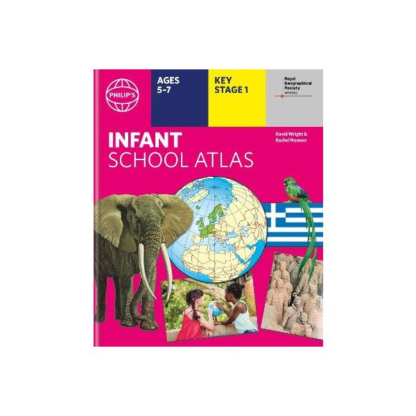
Written for 5 to 7 year-old this atlas is ideal for teaching Key Stage 1, helping to cover geography, history, science, citizenship and literacy requirements
- Written by experts Professor David Wright and Rachel Noonan
- Published in association with the Royal Geographical Society
- 50 pages of clear, child-friendly maps showing our world today
- Countries of the world brought to life with flags, illustrations and photos
- Bold text, simple words and short sentences to encourage reading skills
- Starts with the Earth as a Planet then zooms into each of the world's regions with maps and illustrations
- Numbered balloons on each map link to photos of a real place
Fully revised and updated, the atlas is for children aged 5-7 in the early stages of reading, with simple text to explain what is happening on the maps and illustrations - all compatible with National Curriculum Key Stage 1.
Clear, child-friendly maps are combined with vibrant photographs and facts about the world to provide essential geographical information for young children. Guidance is given at the beginning of the atlas on how to use the maps, encouraging the early development of map skills and knowledge of the world.
Each colourful spread is illustrated with photographs and packed with fact boxes, curiosities, flags, stamps and simple quiz questions. Philip's RGS Infant School Atlas is both fun to use and easy to understand. The text is simple and uncomplicated to encourage early reading skills.
| Author | Philip's Maps |
|---|---|
| Format | Hardback |
| ISBN | 9781849076869 |
| Publisher | Octopus Publishing Group |
Write Your Own Review
There are no answered questions for this product yet.