This site requires cookies for account access and purchasing. By using this site you give implied consent. For more information please review our use of cookies in our Cookie Policy and then Accept and Close this bar.

Puerto Rico NGS Adventure Map 3107
£14.95
ISBN
9781566955188
Delivery
3 available / in stock online
3 available / in stock online
Click & Collect
3 in stock at London Store
3 in stock at London Store
Publisher:
National Geographic Maps
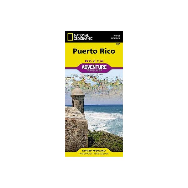
Puerto Rico at 1: 125,000 on a detailed, double-sided map from the National Geographic Society Adventure series, printed on light, waterproof and tear-resistant plastic paper. A street plan of San Juan is included.
The map divides the island east/west with a small overlap between the sides. Topography is shown by contours at 50 m intervals enhanced by relief shading. Protected areas are highlighted and graded into national parks, national forests, national wildlife refuges, state forests an natural reserves, wilderness areas, marine protected areas, military zones, plus other protected areas/reserves.
Road network includes selected paved and improved roads, clearly showing where appropriate road numbers but not indicating driving distances. Ferry routes are also marked. A range of symbols indicate various places of interest and tourist facilities, including beaches, snorkelling and scuba diving sites, whale watching places, sailing/surfing or kayaking sites, etc. The map has a UTM grid, plus latitude and longitude margin ticks at intervals of 15’.
Also provided is a map of the San Juan area at 1:60,000 approx, indicating main traffic routes in the city, plus a more detailed street plan of Old San Juan.
The map divides the island east/west with a small overlap between the sides. Topography is shown by contours at 50 m intervals enhanced by relief shading. Protected areas are highlighted and graded into national parks, national forests, national wildlife refuges, state forests an natural reserves, wilderness areas, marine protected areas, military zones, plus other protected areas/reserves.
Road network includes selected paved and improved roads, clearly showing where appropriate road numbers but not indicating driving distances. Ferry routes are also marked. A range of symbols indicate various places of interest and tourist facilities, including beaches, snorkelling and scuba diving sites, whale watching places, sailing/surfing or kayaking sites, etc. The map has a UTM grid, plus latitude and longitude margin ticks at intervals of 15’.
Also provided is a map of the San Juan area at 1:60,000 approx, indicating main traffic routes in the city, plus a more detailed street plan of Old San Juan.
| Format | Sheet map, folded |
|---|---|
| ISBN | 9781566955188 |
| Pages | 1 |
| Published | 07/05/2011 |
| Publisher | National Geographic Maps |
| Reference | 3107 |
Write Your Own Review
There are no answered questions for this product yet.