This site requires cookies for account access and purchasing. By using this site you give implied consent. For more information please review our use of cookies in our Cookie Policy and then Accept and Close this bar.



Sierra de Grazalema Natural Park 1:40,000 Hiking Map
£19.99
ISBN
9788412639117
Publisher:
Editorial Penibetica
Detailed topographical maps with information booklet in English.
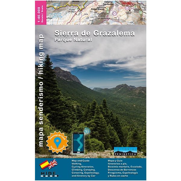
Sierra de Grazalema on a double-sided, contoured and GPS compatible map at 1:40,000 from Editorial Penibetica, highlighting local hiking trails and cycling routes.
Contours are at 20m intervals enhanced by relief shading. The overprint highlights hiking trails and cycling routes, with numbers cross-referencing them to descriptions in the guide. Also marked are various places of interest and facilities including information centres, campsites, petrol stations, etc. The map has a 1-km UTM grid, plus latitude and longitude margin ticks at 2’ intervals. Map legend includes English.
The map comes with a 60-page booklet in English providing descriptions of several recommended walks and mountain bike routes, details of local accommodation and general information about the area.
To see other titles in this series please click on the series link.
Contours are at 20m intervals enhanced by relief shading. The overprint highlights hiking trails and cycling routes, with numbers cross-referencing them to descriptions in the guide. Also marked are various places of interest and facilities including information centres, campsites, petrol stations, etc. The map has a 1-km UTM grid, plus latitude and longitude margin ticks at 2’ intervals. Map legend includes English.
The map comes with a 60-page booklet in English providing descriptions of several recommended walks and mountain bike routes, details of local accommodation and general information about the area.
To see other titles in this series please click on the series link.
| Weight | 0.286000 |
|---|---|
| Format | Sheet map, folded |
| ISBN | 9788412639117 |
| Publisher | Editorial Penibetica |
| Scale | 1:40,000 |
| Size Folded | 13x22cm |
| Size Unfolded | 105x96cm |
Write Your Own Review
There are no answered questions for this product yet.