This site requires cookies for account access and purchasing. By using this site you give implied consent. For more information please review our use of cookies in our Cookie Policy and then Accept and Close this bar.



Sifnos [10.26] 1:25,000 Anavasi Hiking Map
£7.99
ISBN
9789608195240
Publisher:
Anavasi
Topographic hiking / touring map of Sifnos on waterproof paper.
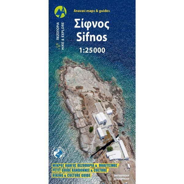
Sifnos in the Cyclades on light, a waterproof and tear-resistant, contoured and GPS compatible map at 1:25,000 from Anavasi for exploring the island on foot or by car, highlighting eight recommended hiking trails, plus descriptions of 11 most interesting locations on Sifnos.
Landscape is vividly shown by contours at 20m with altitude colouring, hill shading and spot heights. The map indicates dirt roads in poor condition, with distances marked on many local routes, plus locations of petrol stations. Also marked are stops of the local bus service. Country paths distinguish between wide and well defined or narrow and/or poorly defined routes. Eight hiking trails, from 2km to 12.5km long, are prominently highlighted. Symbols show hotels and campsites, places of interest including beaches, archaeological sites, etc. All place names are in both Greek and Latin alphabets. The map has a 1km UTM grid plus latitude/longitude margin ticks and crosshairs at 1’.
On the reverse is a simplified map of the island shows 11 most interesting locations, each with a brief description. Map legend and the text include English.
To see which other Greek islands are covered by maps from Anavasi, please click on the series link.
| Author | Anavasi Greece Cyclades Maps |
|---|---|
| Format | Sheet map, folded |
| ISBN | 9789608195240 |
| Publisher | Anavasi |
| Reference | 10.26 |
| Scale | 1:25,000 |
| Size Folded | 11.5x24cm |
| Size Unfolded | 48x68cm |
Write Your Own Review
There are no answered questions for this product yet.