This site requires cookies for account access and purchasing. By using this site you give implied consent. For more information please review our use of cookies in our Cookie Policy and then Accept and Close this bar.

South Africa [3204] 1:1,550,000 Waterproof Adventure Travel Map
£14.95
ISBN
9781566955317
Delivery
2 available / in stock online
2 available / in stock online
Click & Collect
2 in stock at London Store
2 in stock at London Store
Publisher:
National Geographic Maps
Topographic mapping featuring tourist information, on waterproof paper
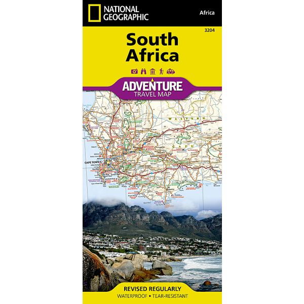
South Africa at 1:1,550,000 in a series of Adventure maps from the National Geographic Society with cartography provided by Reise Know-How. The map is double-sided and printed on light waterproof and tear-resistant plastic paper.
Cartographic information provided by Reise Know-How has been adjusted to follow the house style of the NGS Adventure series with greater emphasis on the country’s topography. Altitude colouring in broader bands has been replaced here by contours at 200m intervals. Boundaries of national parks and other protected areas are very prominently highlighted.
Road network indicates paved and unsurfaced roads and includes selected 4WD tracks. Distances are marked on main and many secondary routes. Railway lines are included and local airports are marked. Internal administrative boundaries are shown with names of the provinces. Symbols indicate numerous places of interest, including UNESCO world heritage sites, botanical gardens and bird sanctuaries, wineries, archaeological remains, beaches and surfing sites, etc. The map has a latitude and longitude grid at intervals of 1° and an extensive index of localities which includes a separate list of national parks and other protected areas.
Overall, the NGS map presents a more vivid picture of the country’s topography, whilst the original RK-H version provides clearer information for touring the country by road or rail.
PLEASE NOTE: to ensure faster delivery to our customers we keep this title in regular stock in its Rough Guides edition which is identical to the original Reise Know-How version. The NGS versions can be ordered on request.
Cartographic information provided by Reise Know-How has been adjusted to follow the house style of the NGS Adventure series with greater emphasis on the country’s topography. Altitude colouring in broader bands has been replaced here by contours at 200m intervals. Boundaries of national parks and other protected areas are very prominently highlighted.
Road network indicates paved and unsurfaced roads and includes selected 4WD tracks. Distances are marked on main and many secondary routes. Railway lines are included and local airports are marked. Internal administrative boundaries are shown with names of the provinces. Symbols indicate numerous places of interest, including UNESCO world heritage sites, botanical gardens and bird sanctuaries, wineries, archaeological remains, beaches and surfing sites, etc. The map has a latitude and longitude grid at intervals of 1° and an extensive index of localities which includes a separate list of national parks and other protected areas.
Overall, the NGS map presents a more vivid picture of the country’s topography, whilst the original RK-H version provides clearer information for touring the country by road or rail.
PLEASE NOTE: to ensure faster delivery to our customers we keep this title in regular stock in its Rough Guides edition which is identical to the original Reise Know-How version. The NGS versions can be ordered on request.
| Format | Sheet map, folded |
|---|---|
| ISBN | 9781566955317 |
| Pages | 1 |
| Published | 01/04/2011 |
| Publisher | National Geographic Maps |
| Reference | 3204 |
| Scale | 1:1,550,000 |
| Size Unfolded | 67x96cm |
Write Your Own Review
There are no answered questions for this product yet.