This site requires cookies for account access and purchasing. By using this site you give implied consent. For more information please review our use of cookies in our Cookie Policy and then Accept and Close this bar.

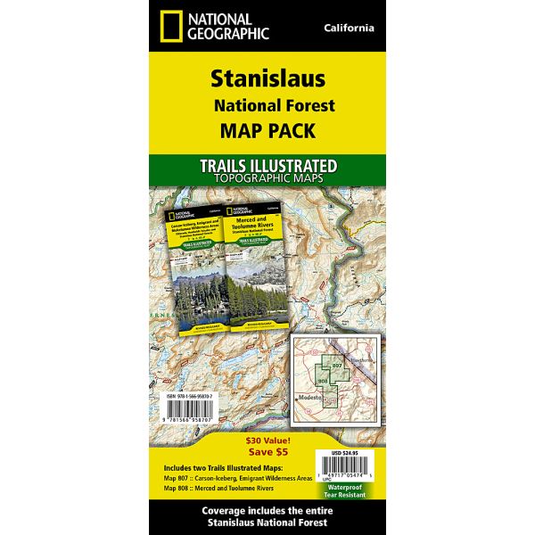
Stanislaus National Forest [Map Pack Bundle]
£24.95
ISBN
9781566958707
Delivery
Available to order from supplier
Available to order from supplier
Click & Collect
Available to order from supplier
Available to order from supplier
Publisher:
National Geographic Maps
Waterproof Tear-Resistant Topographic Maps. The South Platte River map pack covers 142 miles of the South Platte river from the headwaters above Alma on the Middle Fork nearly to the Denver suburbs at Chatfield Reservoir. The upper reaches of the South Platte meander through open ranch land interspersed with Wildlife Management Areas and large reservoirs. Some of the best trout fishing in Colorado can be found in this slow moving section of the South Platte including an area known as the 'Dream Stream.' The lower section of the South Platte is known for rugged canyons and elusive fish that require a good map and long hike to access. These two sections of the South Platte are combined in this Map Pack to help anglers find their next 'favourite spot.' Buy the Map Pack and save 15%! The South Platte River Map Pack includes: Map 2301: Alma to Elevenmile Canyon Reservoir, Map 2302: Elevenmile Canyon Reservoir to Chatfield Reservoir. More convenient and easier to use than folded maps, but j
| Format | Sheet map, folded |
|---|---|
| ISBN | 9781566958707 |
| Pages | 1 |
| Published | 01/10/2017 |
| Publisher | National Geographic Maps |
Write Your Own Review
There are no answered questions for this product yet.