This site requires cookies for account access and purchasing. By using this site you give implied consent. For more information please review our use of cookies in our Cookie Policy and then Accept and Close this bar.

Switzerland 1:275,000 Public Transport Map
£19.99
ISBN
9783259018521
Delivery
5 available / in stock online
5 available / in stock online
Click & Collect
5 in stock at London Store
5 in stock at London Store
Publisher:
Kümmerly + Frey
Map and booklet showing road, rail and ferry services.
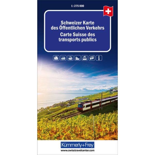
Public Transport Map of Switzerland from Kümmerly + Frey showing standard and narrow gauge railways, rack railways, cable cars, chair-lifts, coach/trolley bus services and ferries, plus a booklet with city transport diagrams and street maps around main railway stations indicating various facilities.
The railways, coach/trolleybus lines and ferry routes, presented in contrasting colouring, are annotated with their official timetable numbers. The railway lines (also shown in the adjoining areas of the surrounding countries but without the timetable numbers) indicate stations with different types of inter-rail or city transport connections. Also highlighted are PubliCar zones: localities with limited or no public transport where a car rental service is provided instead. All this information in presented on an unobtrusive base map with excellent relief shading and plenty of place names of topographic features to provide a vivid picture of the country’s geography. Extensive index, on the reverse side, lists localities with their postcodes and indicates those with car hire and/or bike rental facilities at the station.
The accompanying 79-page booklet contains diagrams of public transport networks in the main cities and their vicinities: Basel, Bern, Biel/Bienne, Fribourg, Geneva, Lausanne, Lugano, Lucerne, Neuchâtel, Schaffhausen St. Gallen, Winterthur and Zurich. For most of these cities the booklet also provides plans of stations and the surrounding streets (in Zurich the central station, Enge, Oerlikon and Stadelhofen), indicating various facilities including car and bike hire points, the nearby bus and tram stops, as well as platform numbers for popular railway connections.
Map legend for the main map includes English. In the booklet the legends are in the in the main language of each city, but extensive additional tourist tips on using the country’s public transport all include English.
| Format | Sheet map, folded |
|---|---|
| ISBN | 9783259018521 |
| Publisher | Kümmerly + Frey |
| Reference | World · Continent · Thematic Map |
| Scale | 1:275,000 |
Write Your Own Review
There are no answered questions for this product yet.