This site requires cookies for account access and purchasing. By using this site you give implied consent. For more information please review our use of cookies in our Cookie Policy and then Accept and Close this bar.



The English Lakes - South-Western Area - Coniston, Ulverston & Barrow-in-Furness OS Explorer OL6
£12.99
ISBN
9780319264010
Publisher:
Ordnance Survey
.
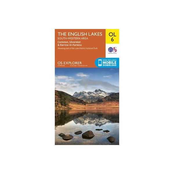
Explorer OL6 includes Scafell Pike, Wast Water, Eskdale and Dunnerdale.
OS Explorer is the Ordnance Survey''s most detailed map and is recommended for anyone enjoying outdoor activities like walking, horse riding and off-road cycling. The OS Explorer range of OL maps now includes a digital version of the paper map, accessed through the OS smartphone app, OS Maps. Providing complete GB coverage the series details essential information such as youth hostels, pubs and visitor information as well as rights of way, permissive paths and bridleways.
OS Explorer is the Ordnance Survey''s most detailed map and is recommended for anyone enjoying outdoor activities like walking, horse riding and off-road cycling. The OS Explorer range of OL maps now includes a digital version of the paper map, accessed through the OS smartphone app, OS Maps. Providing complete GB coverage the series details essential information such as youth hostels, pubs and visitor information as well as rights of way, permissive paths and bridleways.
| Format | Sheet map, folded |
|---|---|
| ISBN | 9780319264010 |
| Published | 17/05/2021 |
| Publisher | Ordnance Survey |
| Reference | OL6 |
| Scale | 1:25,000 |
Write Your Own Review
There are no answered questions for this product yet.