This site requires cookies for account access and purchasing. By using this site you give implied consent. For more information please review our use of cookies in our Cookie Policy and then Accept and Close this bar.



Wall Map of the Historic Counties of the United Kingdom
£9.99
ISBN
9781068687518
Publisher:
Historic Counties Trust
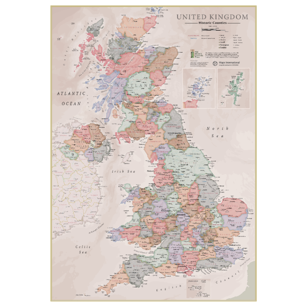
Created for the Historic Counties Trust by the expert cartographers of Lovell Johns, this A1 wall map of the Historic Counties of the United Kingdom is a colourful and educational piece of home or office decoration. For centuries the historic counties of the UK have formed the familiar geographical background to our national life. They retain an important role in our sporting, social and cultural life and to our sense of identity and community. The map features each of the 92 historic counties, as well as the Ridings of Yorkshire and the Parts of Lincolnshire. Major towns and cities are highlighted, along with hill and sea shading. The map is finished with write-on front sheet lamination.
| Format | Sheet map, rolled |
|---|---|
| ISBN | 9781068687518 |
| Published | 31/10/2025 |
| Publisher | Historic Counties Trust |
Write Your Own Review
There are no answered questions for this product yet.