This site requires cookies for account access and purchasing. By using this site you give implied consent. For more information please review our use of cookies in our Cookie Policy and then Accept and Close this bar.

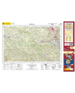
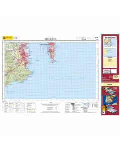
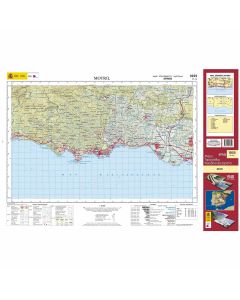
1:50,000 • CNIG Spain MTN50 Topographic Map
Explore Spain in remarkable detail with the Mapa Topográfico Nacional 1:50,000 (MTN50), the country’s national topographic map series produced by the Instituto Geográfico Nacional (IGN) and published by CNIG.
At this scale, 1 cm on the map represents 500 m on the ground, providing an excellent balance between detailed mapping and wide-area coverage. From mountains, valleys and coastlines to towns, roads and waterways, the MTN50 series is an invaluable resource for exploring the landscape, planning routes and geographical research.
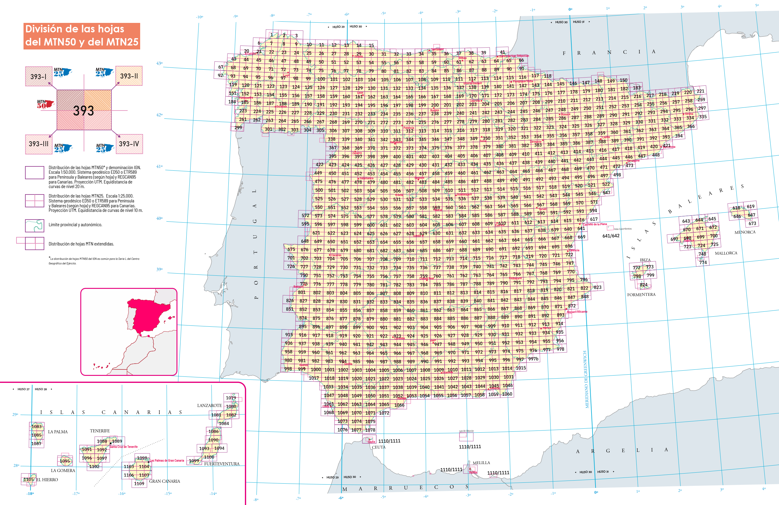
Use the map grid to find the sheet covering your chosen area, then explore the series below.
Map Grid