This site requires cookies for account access and purchasing. By using this site you give implied consent. For more information please review our use of cookies in our Cookie Policy and then Accept and Close this bar.

CNIG • Spain National Geographic Institute
Discover Spain with the country’s official mapping
The Centro Nacional de Información Geográfica (CNIG) is Spain’s national centre for geographic information and the organisation responsible for distributing and commercialising the official mapping and geographic products produced by Spain’s Instituto Geográfico Nacional (IGN). With the IGN’s cartographic expertise behind it, CNIG is an excellent choice for anyone looking for detailed, authoritative mapping of Spain.
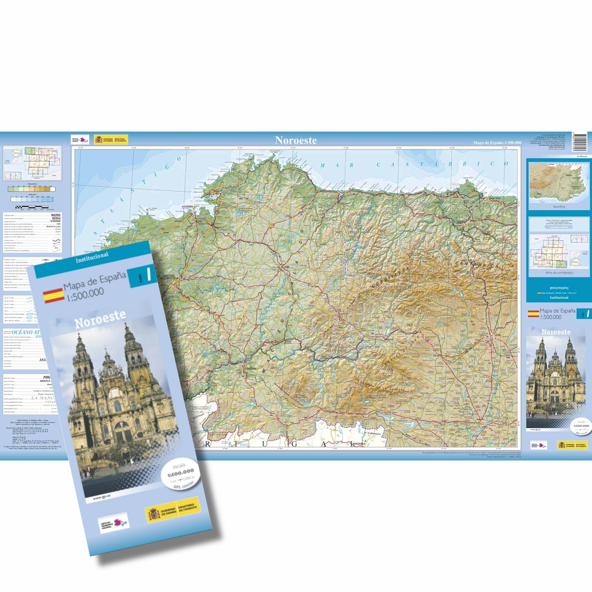
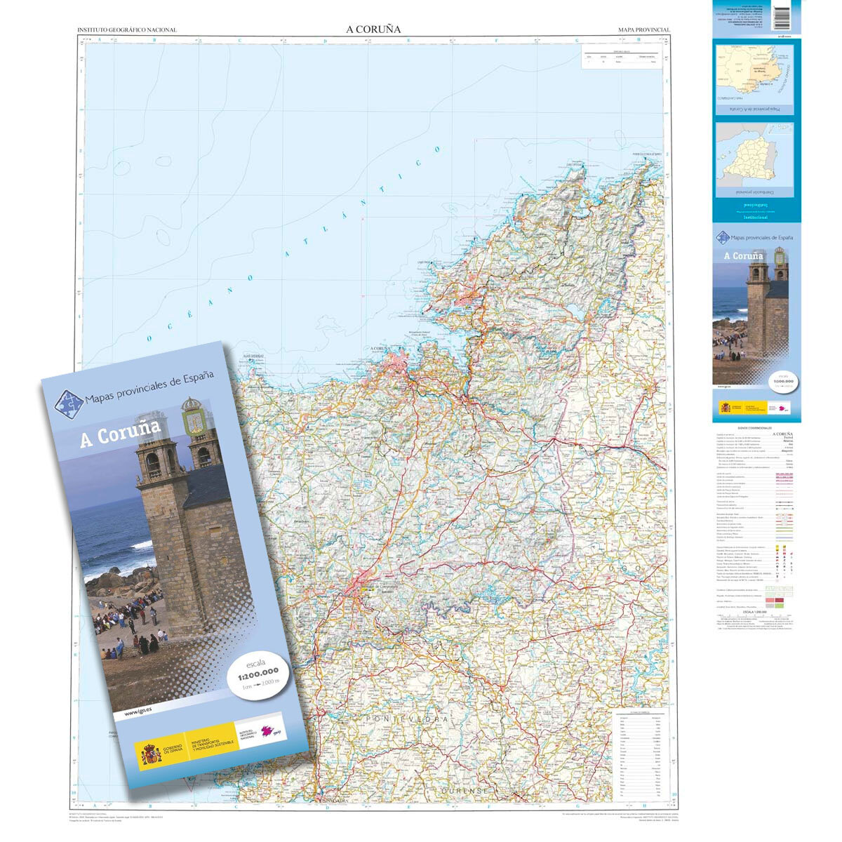
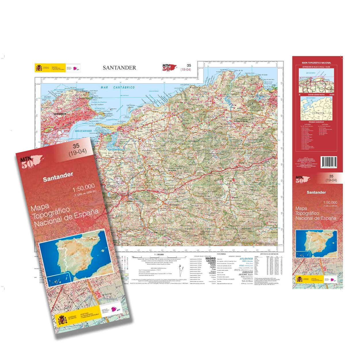
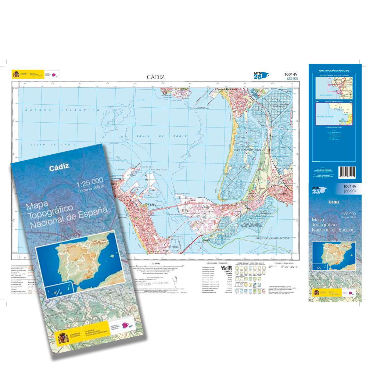
The range covers virtually every level of detail. For exploring on foot or studying the landscape closely, the MTN25 maps at 1:25,000 provide exceptionally detailed topographic coverage, while the MTN50 series at 1:50,000 gives a broader view while retaining plenty of terrain and geographic information. For touring and regional planning, choose the 1:200,000 provincial maps, or step back further with the 1:500,000 sectional maps of Spain for an easy overview of much larger areas.
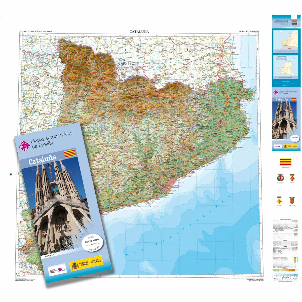
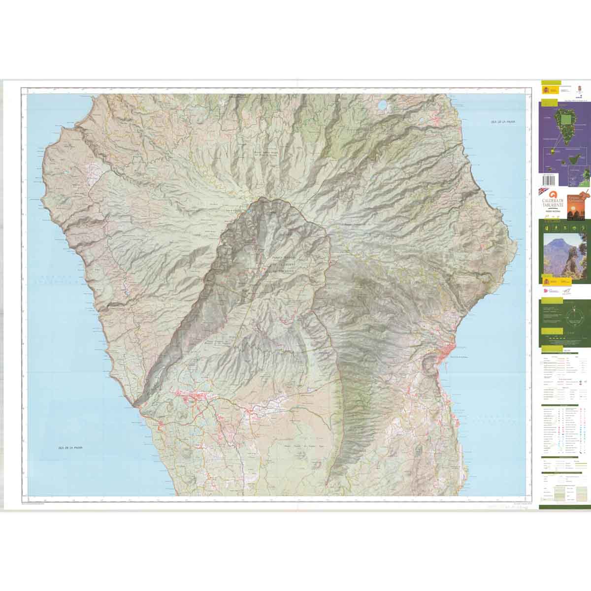
CNIG’s collection goes well beyond its core topographic series, with regional maps, relief maps, physical and political maps, tourist and nature maps, Camino de Santiago mapping, National Parks, natural areas and city surroundings among the many options available. Whether you are planning a journey across Spain, heading into the mountains, exploring a particular province or simply want to understand the country in greater detail, there is a CNIG map to suit the scale of your adventure.